- Sport
Le Grand Châtelard
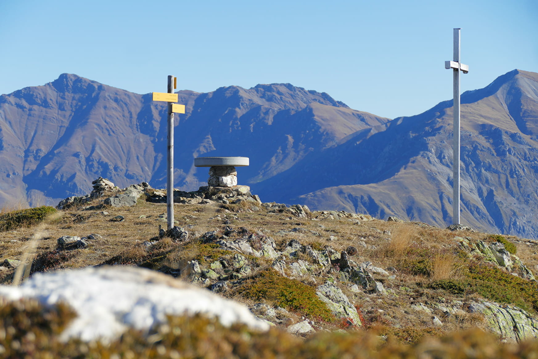
From the mountain pastures to the summit of Jarrier.
This hike through forests and mountain pastures takes you to the Grand Châtelard, the highest point in the commune. At the summit, you'll enjoy a 360° view of the valleys and the Arvan-Villards massif.
About

Further informations
Stone, Ground


1/ From the Maison Forestière de l'Oullaz, head towards Le Grand Châtelard along the forest track.
2/ Continue until you reach Sur La Balme. The trail then winds through the mountain pastures to reach the Grand Châtelard summit at 2143 m.
The Grand Châtelard has several interesting geological features.
3/ Return to the Maison Forestière de l'Oullaz via the same route.
Prices
Free access.
Reception
Dogs must be kept on a leash due to the presence of herds.
Period of practice
From 01/04 to 30/11.
Subject to favorable weather.
- Pets welcome
- Picnic area
- Car park
- Orientation board
- Free car park
Contacts
Access
On the heights of Jarrier, 4 kms from the village. Parking Maison Forestière de l'Oullaz.


