From Jarsy, go up to Précherel and park on the outskirts of the hamlet (car park on the right). Go back up the track which follows the road and passes under the Pont de Leyat Bridge and quickly climbs towards the alpine pasture track. After 45 minutes, ignore the track on the right leading to the "Plans", and instead climb straight up to the pass. From the pass redescend via the track which goes horizontally through the larch tree plantation. At the Chalet des Plans, veer right to reach the junction of the climb. Go back down the same way to the starting point or via the less steep track which is longer, but has a clearer view.
- Sport
Le Col de Chérel
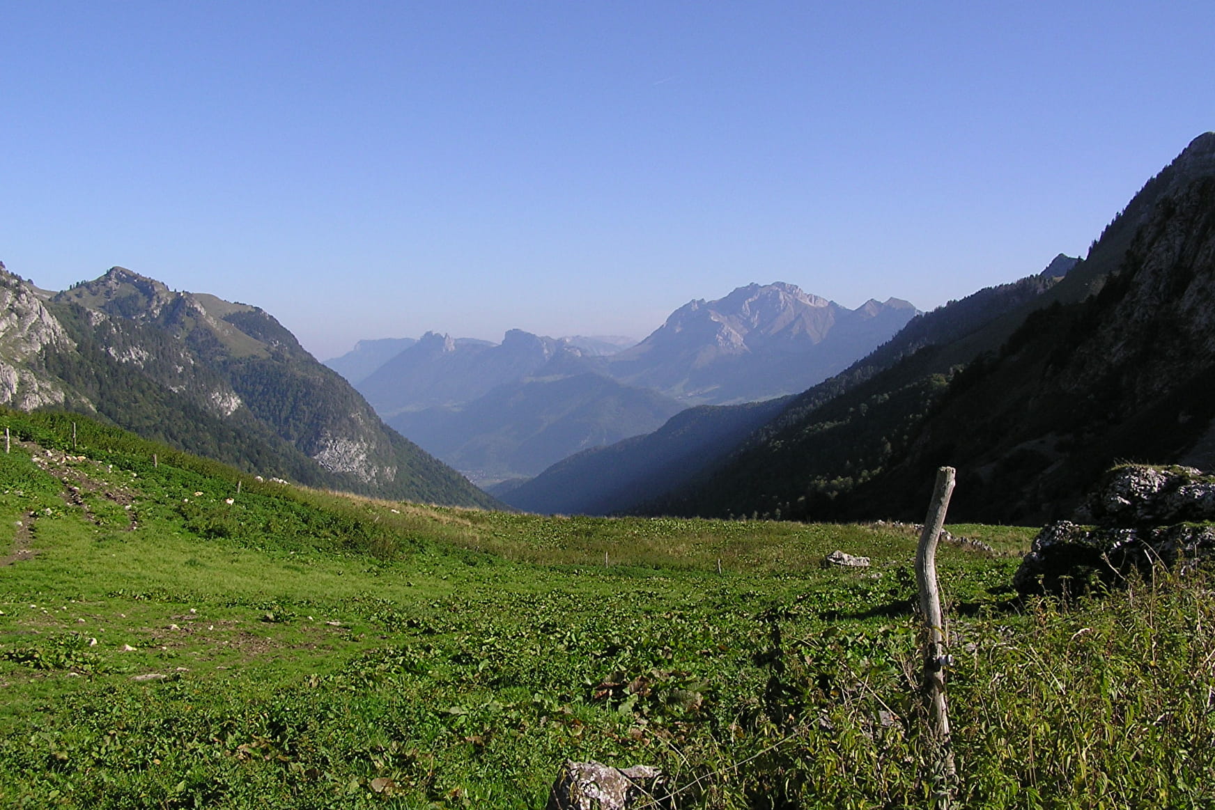
A lovely walk for discovering a pass between the highest peaks of the Bauges Mountains. Be careful, the chamois are watching you!
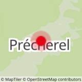
Sport Le Col de Chérel Jarsy
About

Reception
Period of practice
From 05/01 to 10/31 : open daily.
Services
- Pets welcome