• Sport

Le Chalet du Tour

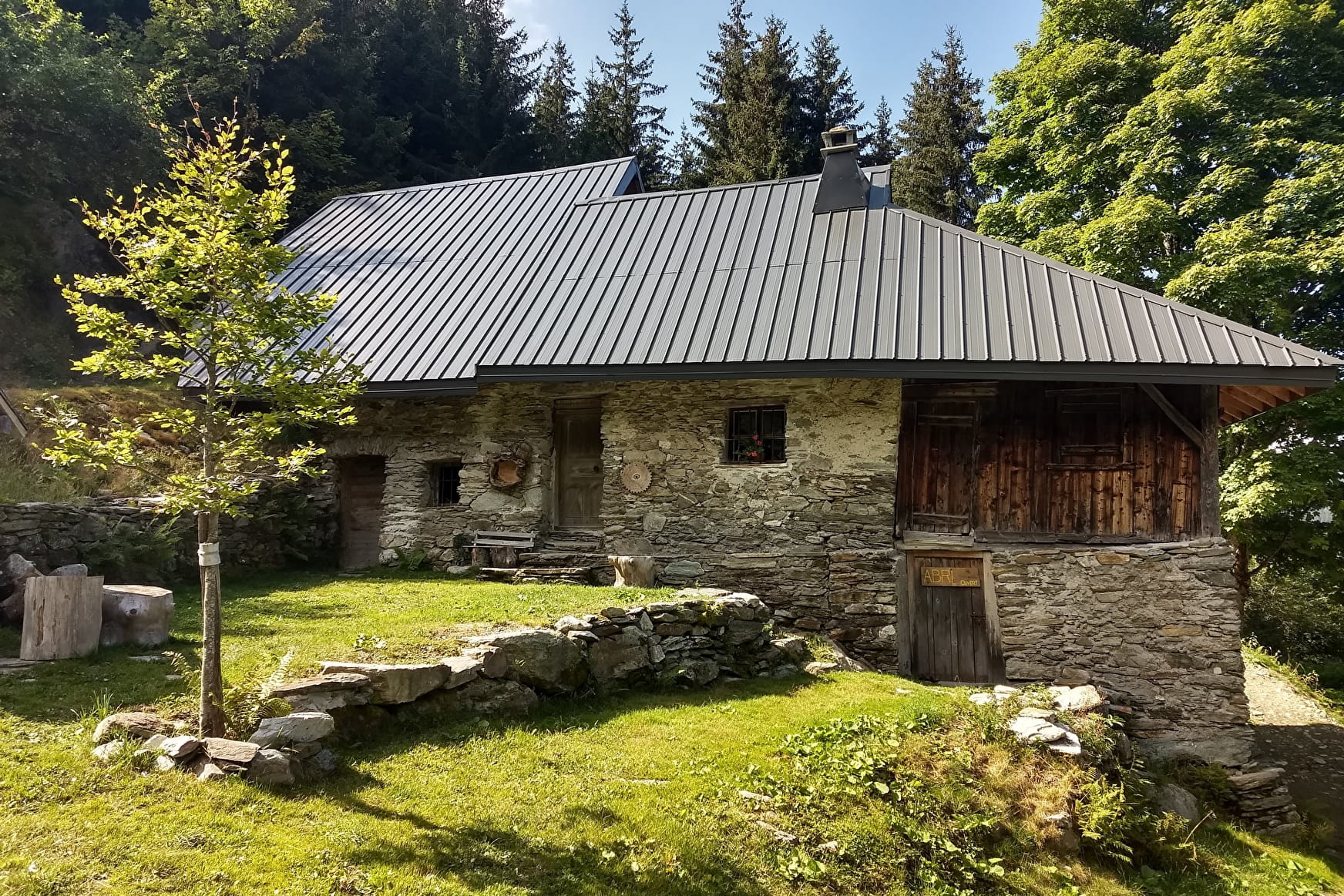
Sport Le Chalet du Tour Montsapey

About

Departing from Montsapey (73220)
Average length : 02h00
Total elevation gain : 350m
Vertical drop : 350m
Distance : 4.5km
Signed walking trail
Animals allowed

Way and back
Total elevation gain : 350m
Altitude max : 1412m
Vertical drop : 350m

Further informations
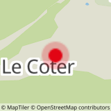
Ground

    1 2

    Prices

    Free access.

    Reception

    Animals allowed

    Period of practice

    All year round.

    Subject to favorable snow and weather conditions.

    Services
    • Pets welcome
    Equipments
    • Car park
    • Free car park

    Access

    Pont de la scie, hameau le Coter 73220 Montsapey
    Departing from : Montsapey (73220)
    Latitude : 45.532667 - Longitude : 6.360778
    Information update on 19/04/2024 by Office de Tourisme Porte de Maurienne