- Sport
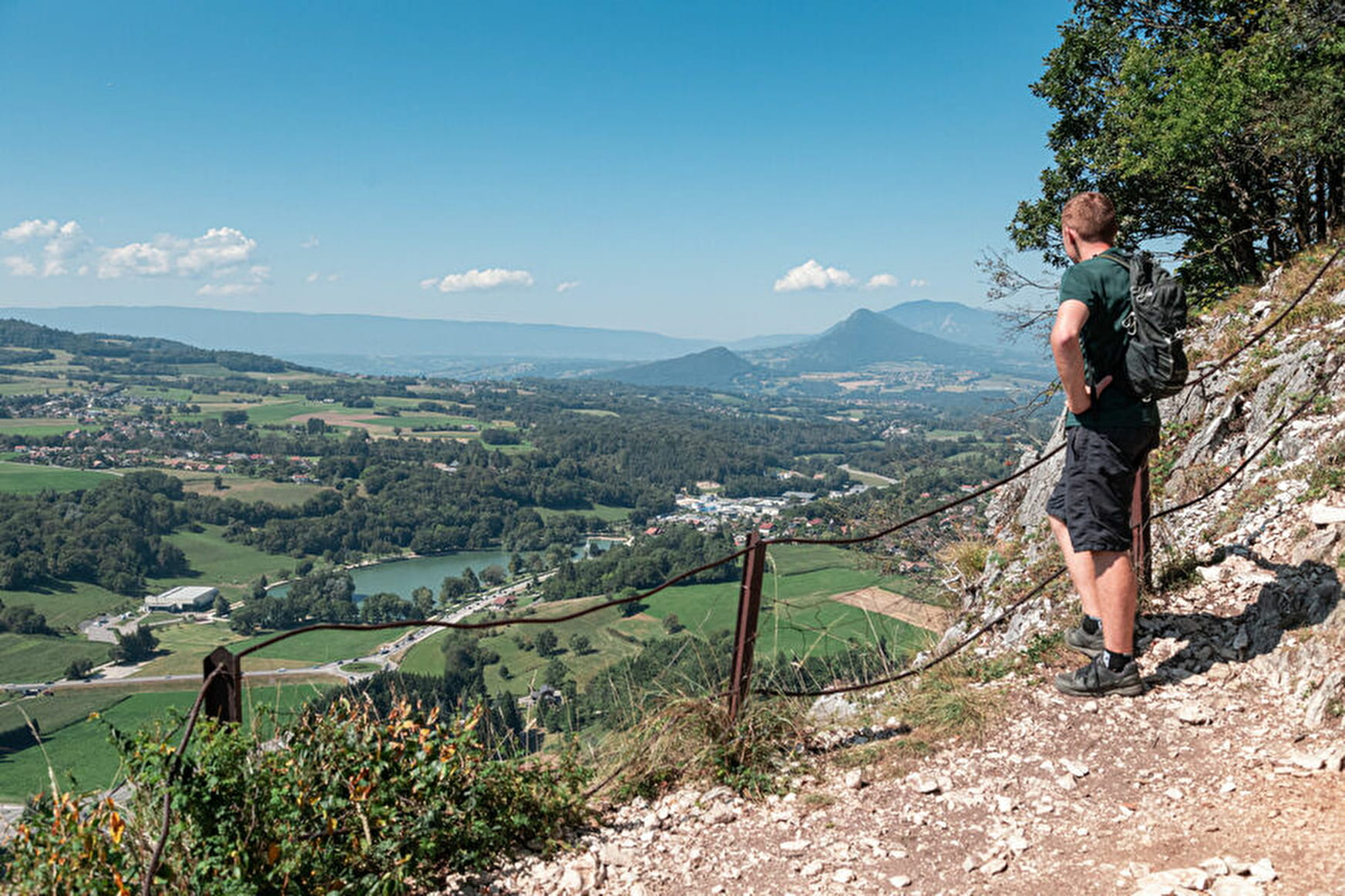
La tête de la Mandallaz
Savoie Mont Blanc's choice
Sport La tête de la Mandallaz La Balme-de-Sillingy
About

1 2
Prices
Free access.
Reception
Period of practice
All year round.
Services
- Pets welcome


Free access.
All year round.

