- Sport
La Poupée trail
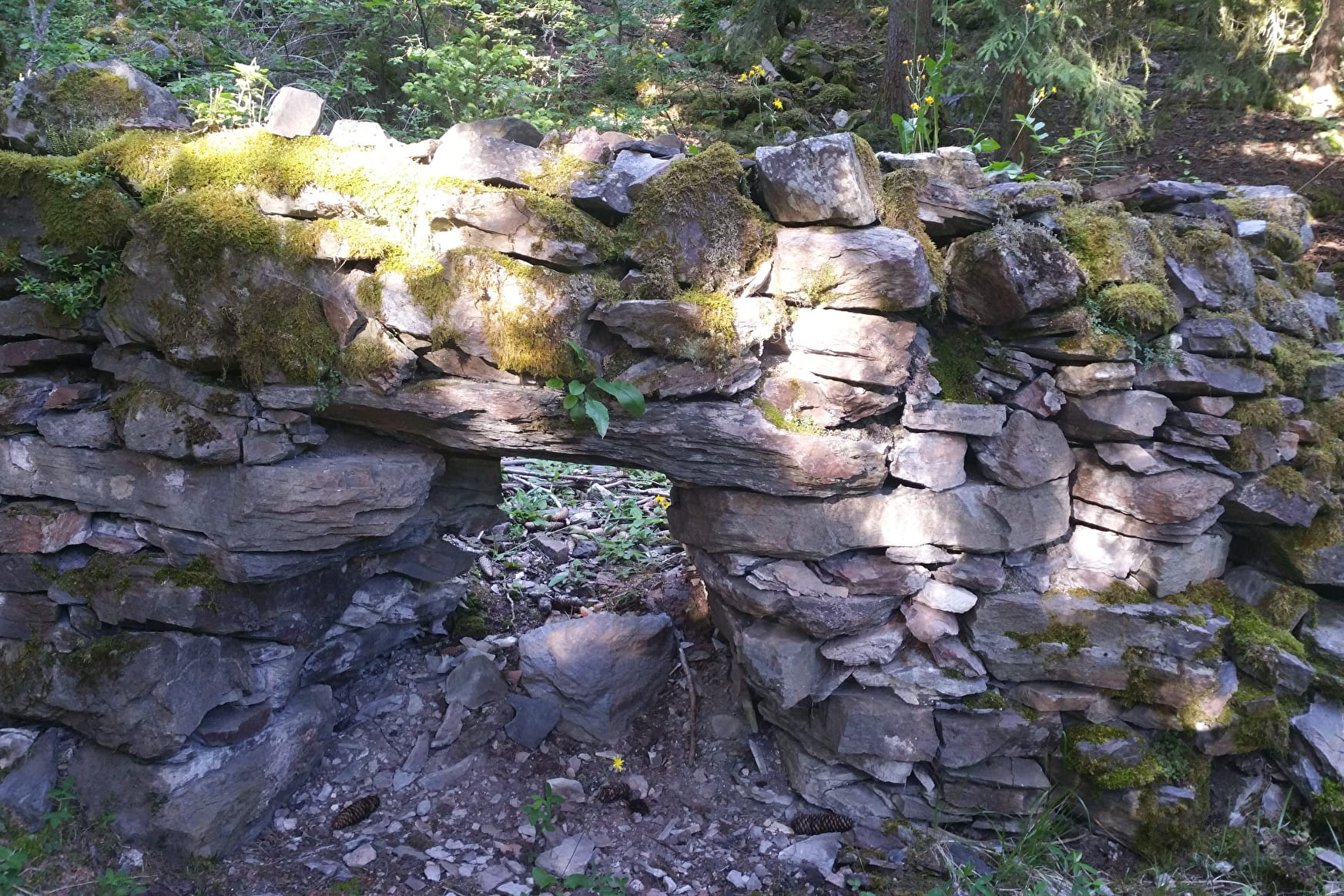
A short walk offering a lovely panorama of the valley

About

Further informations
Stone, Ground, Hard coating (tar, cement, flooring), Grit
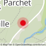
0/ Set off from Bonconseil water tower.
1/ Follow the path to "Les Rottes".
2/ At the "Les Rottes" turn off, continue on the same path towards the bus stop and the road.
3/ To continue, take the road that goes down to Le Grange then Bellentre, or go up to Le Villard to join "Cyprien trail".
4/ Take the same path back.
Prices
Free access.
Reception
FOR YOUR PLEASURE AND SAFETY
Safety rules
• Check the weather forecast before you leave.
• Avoid going alone. Tell someone that you are leaving and your planned route.
• Don't forget to drink, eat and take breaks during the hike.
Equipment
• Wear good shoes and clothes that are suitable for the mountains.
• Take with you: sun cream, hat, sunglasses, warm clothes and rain gear, a mobile phone in case of problems.
• Take a map with you. This map is given as an indication, it does not replace the IGN maps.
Good conduct
• Stay on the marked paths and avoid mowed fields.
• Respect the environment.
• Watch out for herds of animals, keep your dog on a lead.
• Please take your rubbish away with you.
In case of accident: 112 or 18
Weather: 32 50
Period of practice
All year round.
According to snow cover.
- Pets welcome