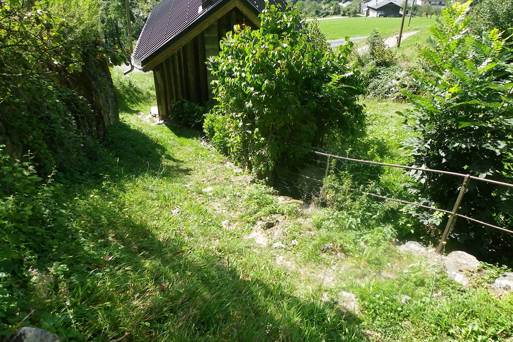
It is advisable to go up through the Cray and thus follow the same path as the Chozallets trail to Champarnand. From there, continue up to the crossroads of the Coin. There, turn left to reach La Place by a beautiful crossing in the forest. Once on the D123, the route follows the road for 100 m and passes under the school of La Place; there, take the downhill path, made up of a series of sections cut by the D123, with a magnificent view of the Beaufortain valley. We find the D123 one last time at Noiray, to join the village which we cross before returning to the starting car park.
- Sport
La Place Pathway
A family walk on a path of mountain on the heights of Villard-sur-Doron
About

Map references
IGN map of hiking in Beaufortain on sale at the Tourist Office
Topoguides references
"Balades en Beaufortain" on sale at the Tourist Office
1 1

Prices
Free access.
Reception
Period of practice
From 01/04 to 15/09.
Services
- Pets welcome
