• Sport

La Duy loop

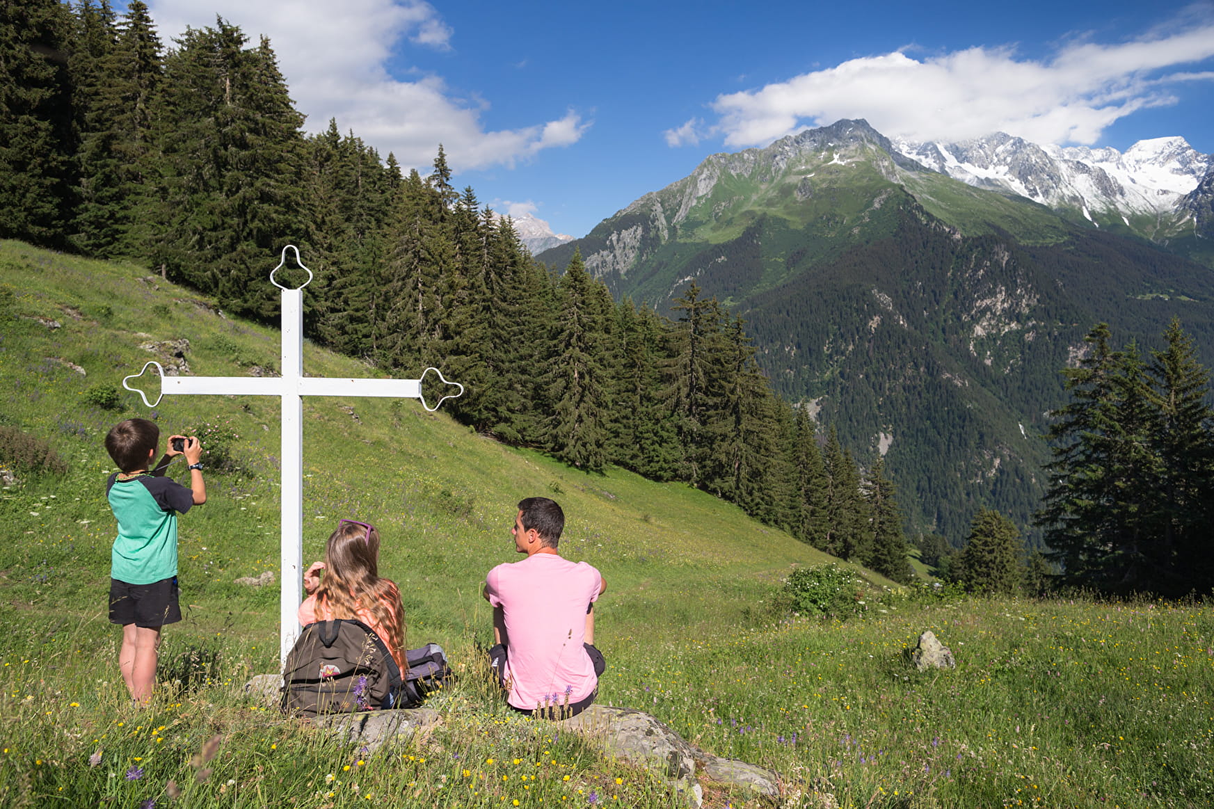
Really nice panorama and if you wish to go further you can go to "Le Chatelard" to see some rocks with small cavities from the Neolithic era.
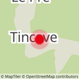
About

Departing from Bozel (73350)
Average length : 02h50
Total elevation gain : 450m
Vertical drop : 450m
Distance : 4.6km
Signed walking trail
Animals allowed

At the top of Tincave where the road becomes a forest trail take the direction of Champagny en Vanoise. Just before the barns of Chatelard the path goes up in zig-zags in direction of “la Duy” come down by the dirt road towards “le Pré” and Tincave.

Loop
Total elevation gain : 450m
Altitude max : 1720m
Vertical drop : 450m

Further informations

Ground, Grit

    1 4

    Prices

    Free access.

    Reception

    Animals allowed
    Languages spoken : French
    Languages of documentation : English, French

    Period of practice

    From 01/04 to 30/11.

    Services
    • Pets welcome
    Equipments
    • Car park

    Access

    Tincave 73350 Bozel
    Departing from : Bozel (73350)
    Latitude : 45.451411 - Longitude : 6.657489

    More informations

    Information update on 18/04/2024 by Communauté de Communes Val Vanoise - Vallée de Bozel Tourisme