- Sport
La Croix du Lachat
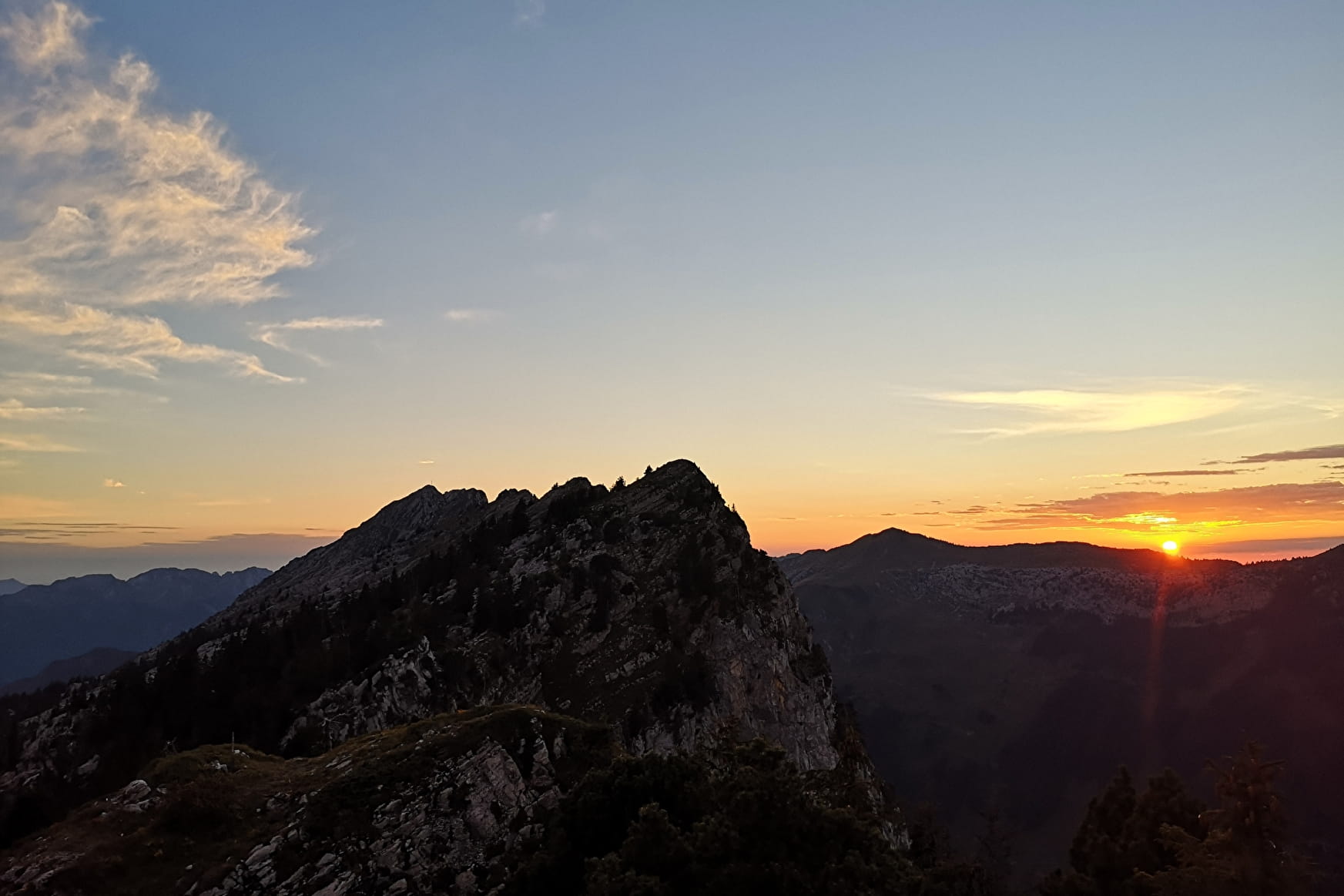
A hike for the more experienced, with views of La Tournette, the Val de Thônes, the Aravis massif and Mont Blanc from the summit.
About

Topoguides references
Pages 32-33, hike no. 14. Guide "Randonnées sportives et incontournables" on sale for €3 at the Tourist Office.
Access to the starting point:
From Saint Jean de Sixt, follow the road to the Grand-Bornand. After the Town Hall, turn left to the direction of Forgeassoud-Dessus. Park your car on the car park on the right after 1,1km.
Hike:
From the car park, go throught the Fogeassoud-dessus hamlet. Go behind the farm Milk & Bouse and turn right to the Suet. At the edge of the wood turn left. We follow path which go to the "Chalet des Frassettes" and to the "Chalet de la Mare"2h). From there, the path go to the forest and to the pasture. We join the summit by a big combe.
Prices
Free access.
Reception
Period of practice
Subject to favorable weather.
- Pets welcome