- Sport
Refuge de la Dent Parrachée
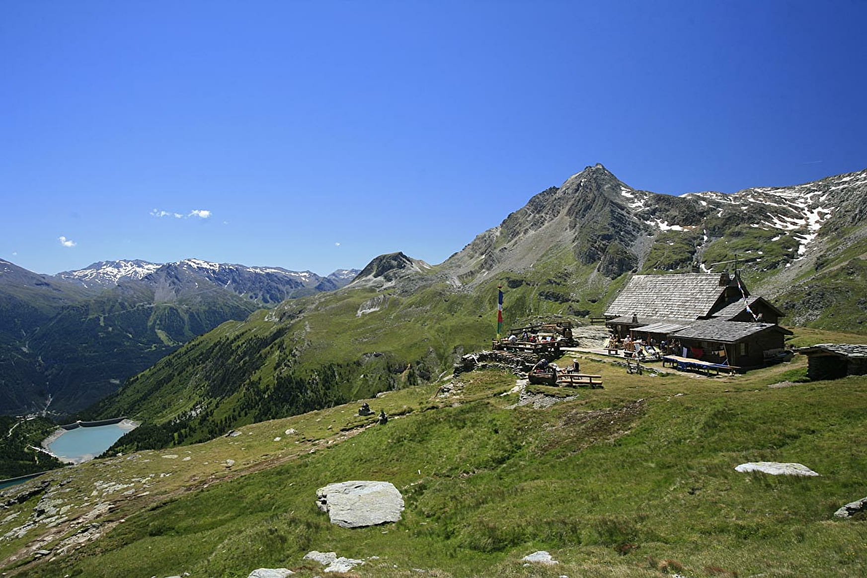
Hiking accessible to any walker with a panoramic view of the dams Plan d'Amont and Plan d'Aval, Dent Parrachée and other surrounding peaks.

About

Further informations
Ground
Possibility of access via chairlift Gran Jeu - go time: 1:30
Starting point: Parking dam of Upstream Plan
Elevation start: 2,050 m
Elevation tour: 2511 m
Reference Carto: IGN 3534 OT - The Three Valleys - Modane - Series Top 25 - Scale: 1/25000
Stroller accessibility: no
Type of land: land
Type of trail: trail maintained PNV
Level of the hike: walker, no problem
Markings: yellow panels PNV
Prices
Free access.
Reception
Period of practice
From 15/06 to 30/09.
Subject to favorable snow and weather conditions.
- Accessible via ski lift
- Car park
Contacts
Access
Access by road from the dams. From Aussois, head towards the Plan d'Aval and Plan d'Amont dams, Vanoise National Park. 7 km, narrow road - forbidden to coaches.
- Not accessible in a wheelchair