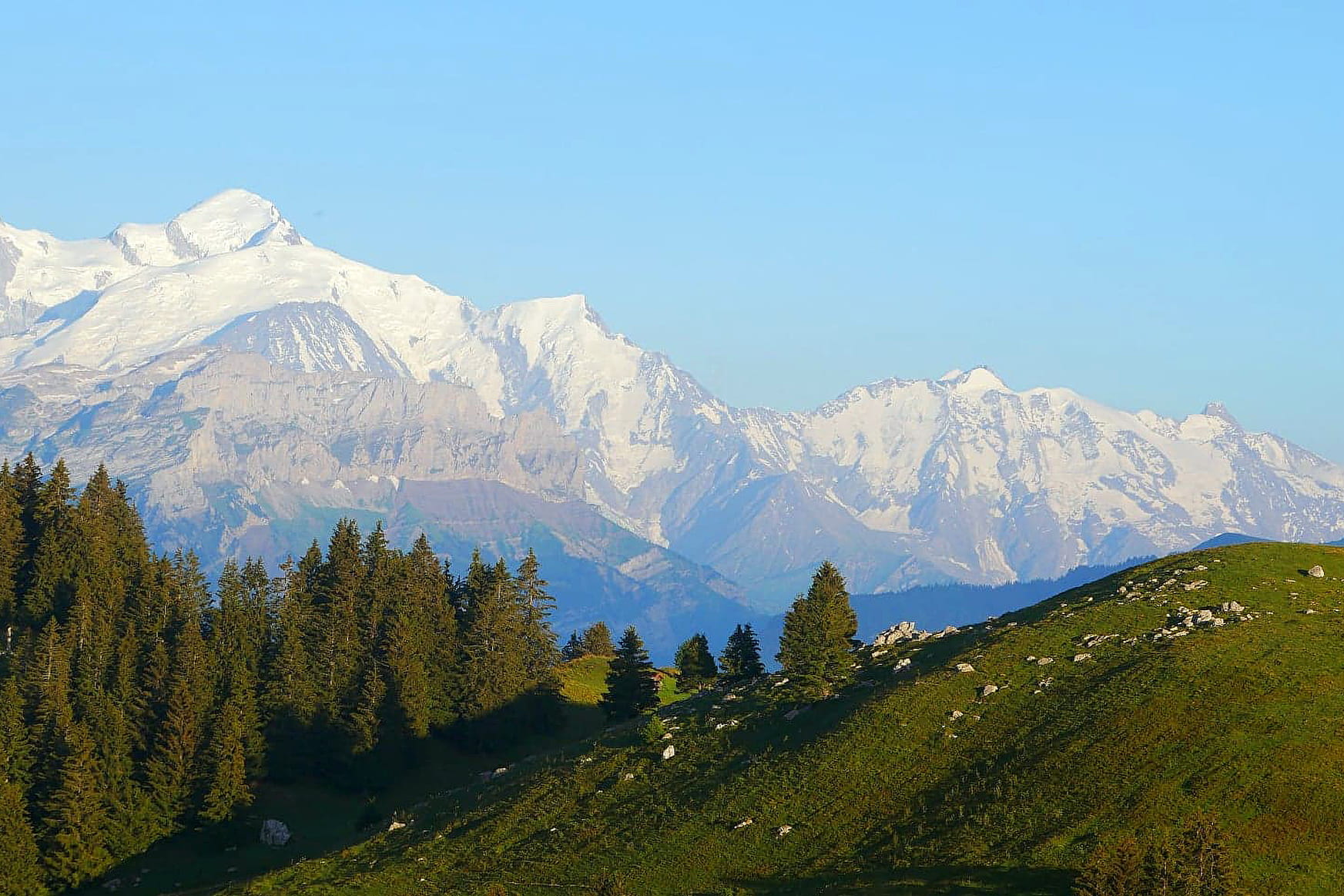
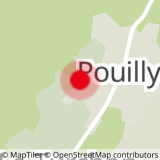
Starting point: PouillyThe path starts in the forest above the village of Pouilly, becomes quite steep, reaches Les Nants then Les Echauds by crossing two clearings. The itinerary still goes around the bump in the forest that carries the television relay. The path then becomes much less steep and joins the end of a carriage road at the end of the forest. Join the road that leads to La Joux by passing under a ski lift, then pass under it a second time until you reach the top. Then easily reach the summit of the Pointe des Brasses. Come back down by the same route.
Starting point : Pouilly
Translated with www.DeepL.com/Translator (free version)
- Sport
Hiking trail - Pointe des Brasses from Pouilly
Medium difficulty hike starting from the village of Pouilly.
Sport Hiking trail - Pointe des Brasses from Pouilly Onnion
About

The path starts in the forest and climbs above the village of Pouilly, becomes quite steep, reaches Les Nants and then Les Echauds by crossing two clearings. The itinerary still goes around the bump in the forest that carries the television relay. The path then becomes much less steep and joins the end of a carriage road at the end of the forest. Join the road that leads to La Joux by passing under a ski lift, then pass under it a second time until you reach the top. Then easily reach the summit of the Pointe des Brasses. Come back down by the same route.
Starting point : Pouilly
Translated with www.DeepL.com/Translator (free version)
Prices
Free access.
Reception
Period of practice
All year round.
Services
- Pets welcome