Take the forest path between the church and the cemetery of La Tour. The climb starts here. The path crosses the forest road of La Toche, climbs more steeply and crosses a second forest road, known as the Môle, before emerging in the alpine pastures of the Ecutieux at 1380m. Continue above the chalets, crossing the side of the tête de l'Ecutieux (1563m). Continue along the North-West ridge of the Môle which leads to the summit. The descent is by the same route.
Access and starting point :
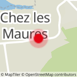
From Saint-Jeoire or Vue-en-Sallaz, go up to the village of La Tour. The start of the trail is between the church and the village.
Translated with www.DeepL.com/Translator (free version)
- Sport
Hiking trail - Le Môle from La Tour
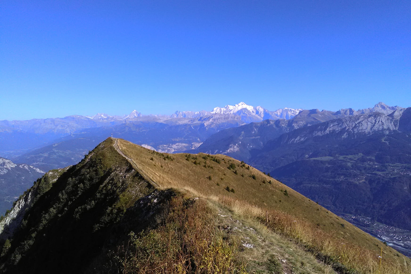
A physically demanding hike up to the summit of Le Môle (1863m) to enjoy a splendid 360° panorama of the Mont Blanc chain, the Aravis mountains and Lake Geneva!
Sport Hiking trail - Le Môle from La Tour La Tour
About

Prices
Free access.
Reception
Period of practice
All year round.
Services
- Pets welcome