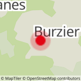
Departure: Burzier car park
This 4x4 path is semi-shaded at the start, then more open towards the top of the mountain pasture. Accessible to 4x4s every day without restrictions.
1. start this route by the motorable road at the entrance to the car park.
2. the slope is a little steep at the start, but for only about 500 m (15 min)
2. you then come to a crossroads with Doran in front of you and Mayères on the left
3. take the left direction, direction Mayères, always by the jeepable path
4. the path is semi-shaded and emerges at times to give you a glimpse of the Mont-Blanc massif
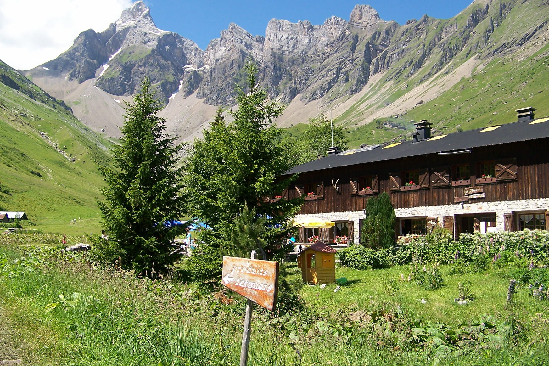
5. After 1h30 to 2h of walking you will arrive at the 1st altitude refuge and restaurant, Le Tornieux
6. then 10 min above, you will find the altitude refuge and restaurant of Mayères with its famous altisurface: the last in Haute-Savoie
7. To the right of the refuge, a mountainside path climbs towards the Saix ridge
8. the trail is well marked and a little aerial, but it has cables in some places
9. arrived at the top of the ridge, observe the magnificent panorama that you have on the valley of Sallanches with the massifs of Fiz and Mont-Blanc and on the other side with the valley of Doran and the Pointe Percée.
You can observe ibexes and perhaps bearded vultures on the Aravis cliffs, behind the refuge
10. the descent is done on the Doran side by a small path between meadows and rocks
11. Nestled in the heart of a grandiose mountain cirque dominated by Pointe Percée, the highest point of the Aravis, the Doran mountain pasture invites you to discover - from June to September - its agro-pastoral and ancestral cheese-making activity where you can buy fresh cheese, the astonishing story of a chapel built by the scouts, the fauna and flora of the Alps and in particular the astonishing Bearded Vulture, reintroduced here a few years ago. And of course the charming refuge of Doran who will welcome you on site for a drink, enjoy a blueberry pie or even offer you the lodging for the night.
12. the return will be via the Doran jeepable track which also goes down to the Burzier car park, the starting point of this hike.
Walking time is approximate and does not include break times.
Hike safely!
This description allows you to orient yourself globally but does not replace a hiking map at 1/25000 or other topoguides that you can find in your tourist office! In Sallanches, our Office of Guides & Accompanists also offers a wide choice of outings accompanied by mountain professionals bringing you complete expertise on the environment and alpine nature, think about it!
Whatever your hike, check the weather forecast before you go.
Remember to take cereal bars in your backpack, enough water, sunglasses, sunscreen, a small first aid kit, as well as clothes suitable for your outing depending on the season. and the forecast weather.
- Sport
Hiking Trail: L'Arête des Saix (Saix Ridge)
A classic circuit near Sallanche to explore two mountain pastures and three refuges. In the heart of the Aravis mountains, overlooking Mont Blanc this beautiful trail links the Mayères pasture and refuge with that of Doran. Some elevated parts, but with cables installed.
Sport Hiking Trail: L'Arête des Saix (Saix Ridge) Sallanches
About

Further informations
Groomed trail, Stone, Ground, Grit
1 2


Prices
Free access.
Reception
Period of practice
From 01/05 to 31/10.
Subject to favorable snow and weather conditions.
Services
- Pets welcome
- Coach access
- Accommodation
- Restaurant
- Car park
- Free car park
- Coach parking
- Picnic area
- Orientation board

