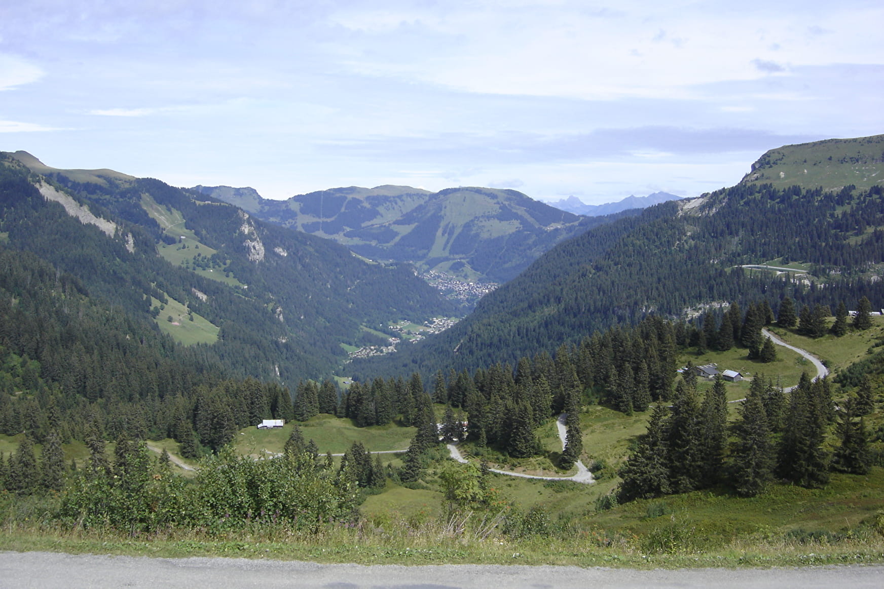
The tête de Lindaret is an easy hike, but with a good climb all the same.
After leaving the Col de Bassachaux, you will first reach the tête de Lindaret at an altitude of 1,950m, where you can enjoy a 360° view.
You will then reach the Pointe de Chésery, which marks the border with our Swiss neighbours. At 2251m, you can admire the view of the Swiss mountains and surrounding valleys.
If you're passing through Rochassons, you can try the Fantasticable, which leaves from the top of the chairlift. Comfortably installed in a harness, you can fly over the hamlet of Plaine-Dranse at almost 100 km/h and up to 240 m high.
- Sport
Walking route -Tête de Lindaret - Pointe de Chésery from Bassachaux
Savoie Mont Blanc's choice
A beautiful hike from the Col de Bassachaux. Panoramic views of the Portes du Soleil area, Mont de Grange, Mont Blanc, Dents du Midi, Lake Montriond...
Sport Walking route -Tête de Lindaret - Pointe de Chésery from Bassachaux Châtel
About

Signs
Departmental markings called P.D.I.P.R. on beige metal panels with green lettering.
Map references
TOP 25 IGN 3528 ET
Topoguides references
Châtel walking map for €3 Topo guide "Balades et randonnées en Vallée d'Abondance" (Walks and hikes in the Abondance Valley) for €5 (Maps for sale at the tourist office)
Further informations
Stone, Ground
1 3


Prices
Free access.
Reception
Whichever walk you choose, we recommend that you :
- Wear appropriate footwear and always take with you: warm clothing, preferably waterproof, plenty of water, sunglasses, sun cream and a small first-aid kit.
- Do not set off alone.
- Inform someone living in the valley of your plans.
- Do not change the planned itinerary indiscriminately. But do not hesitate to shorten it if necessary.
- Carry a map and even a torch.
- Check the weather forecast before setting off.
- In the event of a thunderstorm, move away from ridges, passes and summits as soon as possible and never take shelter under an isolated tree.
Period of practice
From 01/06 to 31/10.
Services
- Pets welcome
- Restaurant
- Accessible via ski lift
- Car park
- Picnic area
- Orientation board
Contacts
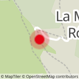
Access
Col de Bassachaux car park or for those without a car: Bus line 1, terminus stop Pierre Longue (July and August) then take the Pierre Longue chairlift to Plaine Dranse then take the road to the start of the walk at Col de Bassachaux.
- Not accessible in a wheelchair


