- Sport
Walking route - Petit Châtel
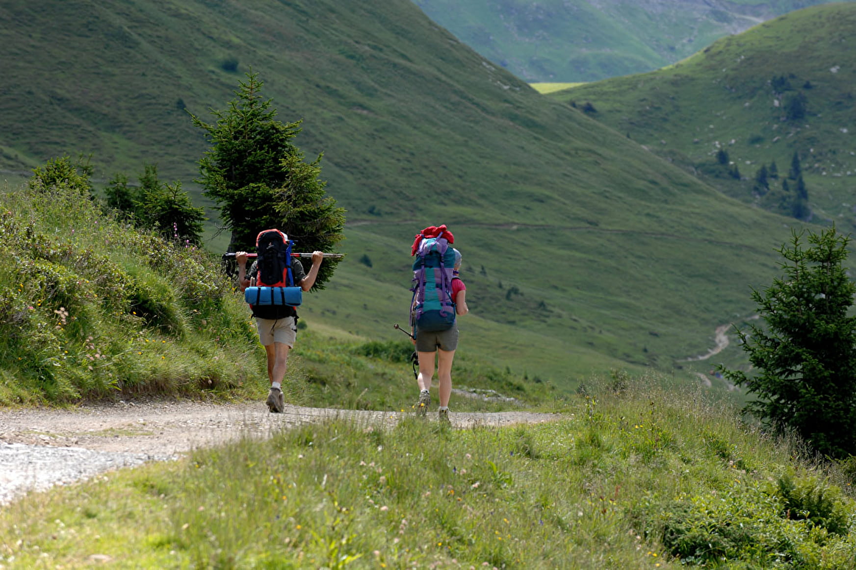
Easy walk to décourvrir Châtel and the Abondance valley from the heighs and some traditional wooden farmhouses.
From the village center, climb to Petit Châtel. Area to park, on the left, at the corner.
About

Signs
Departmental signposting on a beige metal plate with green lettering.
Further informations
Stone, Ground
Prices
Free access.
Reception
Whichever walk you choose, we recommend that you :
- Wear appropriate footwear and always take with you: warm clothing, preferably waterproof, plenty of water, sunglasses, sun cream and a small first-aid kit.
- Do not set off alone.
- Inform someone living in the valley of your plans.
- Do not change the planned itinerary indiscriminately. But do not hesitate to shorten it if necessary.
- Carry a map and even a torch.
- Check the weather forecast before setting off.
- In the event of a thunderstorm, move away from ridges, passes and summits as soon as possible and never take shelter under an isolated tree.
Dogs must be kept on a lead due to the presence of herds.
Period of practice
From 01/05 to 01/11.
- Pets welcome
Contacts
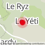
Access
Petit Châtel car park in front of the square or Barbossine car park 200m away.
Bus line 2, stop Petit Châtel.
- Not accessible in a wheelchair