At the pass, clear view of the valley, les Fiz, les Aravis and Mont-Blanc mountain ranges.
- Sport
Hiking to "Le Col du Jaillet"
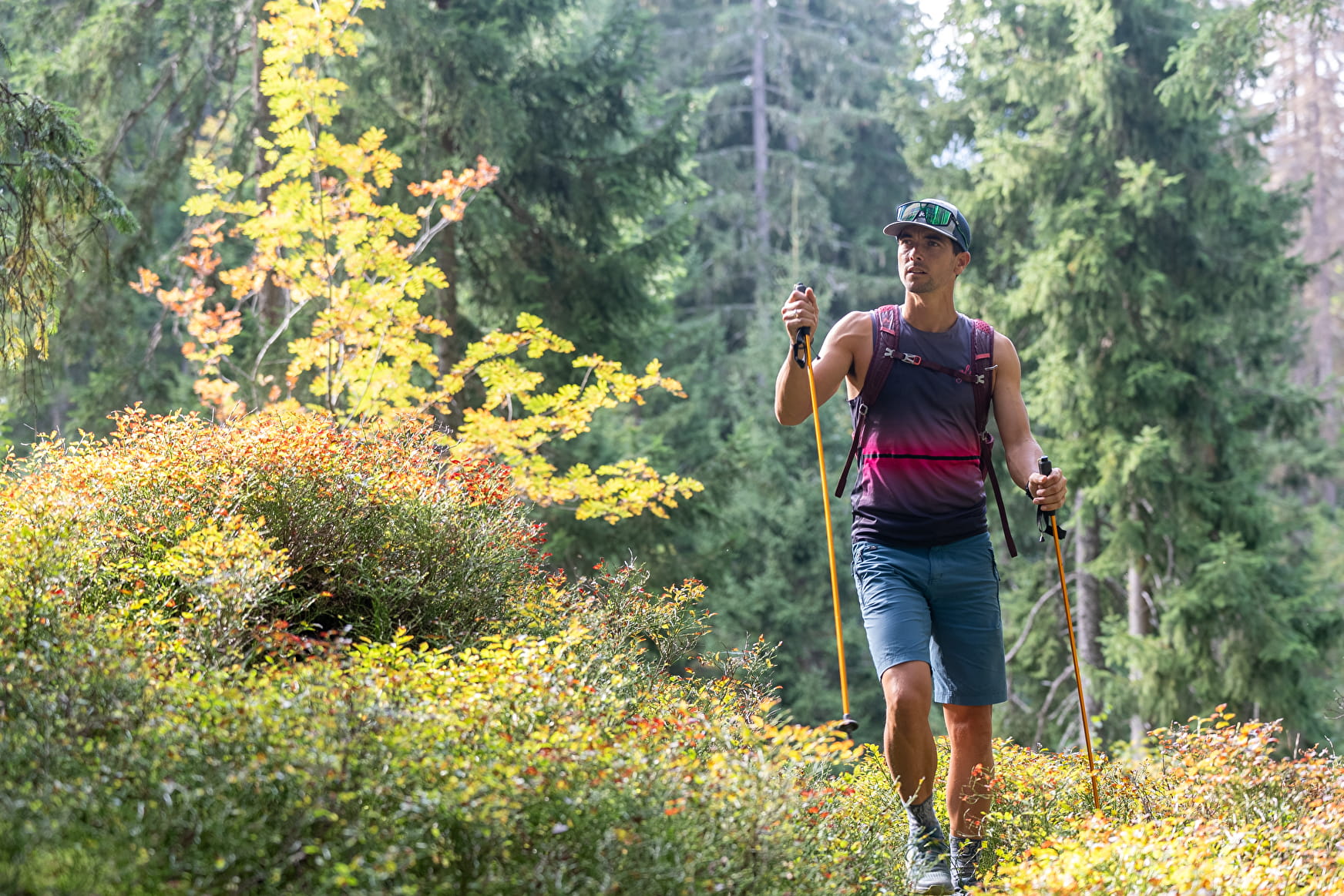
Hiking starting from the hamlet of Grangettes, through mountain pastures and forest. Pleasant walk, crossing different levels of mountain (forest then mountain pastures before arriving to Le Col du Jaillet with its rhododendrons fields).
Sport Hiking to "Le Col du Jaillet" Combloux
About

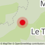
Map references
IGN TOP 25 3531 OT "Megève-Col des Aravis" For more details, a hiking map is for sale at the tourist office for 6€.
Further informations
Stone
1/ From les Grangettes hamlet, you will quickly go up in direction of les Montavus.
2/ Continue to le Châble.
3/ Follow "les Salles" then "le Col du Jaillet" (Jaillet Pass).
4/ To go back down, follow le Jouty, les Revennes, les Mouilles Fleuries, les Montavus and les Grangettes.
Prices
Free of charge.
Reception
Period of practice
From 01/05 to 15/11.
Services
- Pets welcome
- Car park
- Free car park