- Sport
Hiking along the Santiago de Compostela - GR 65 route
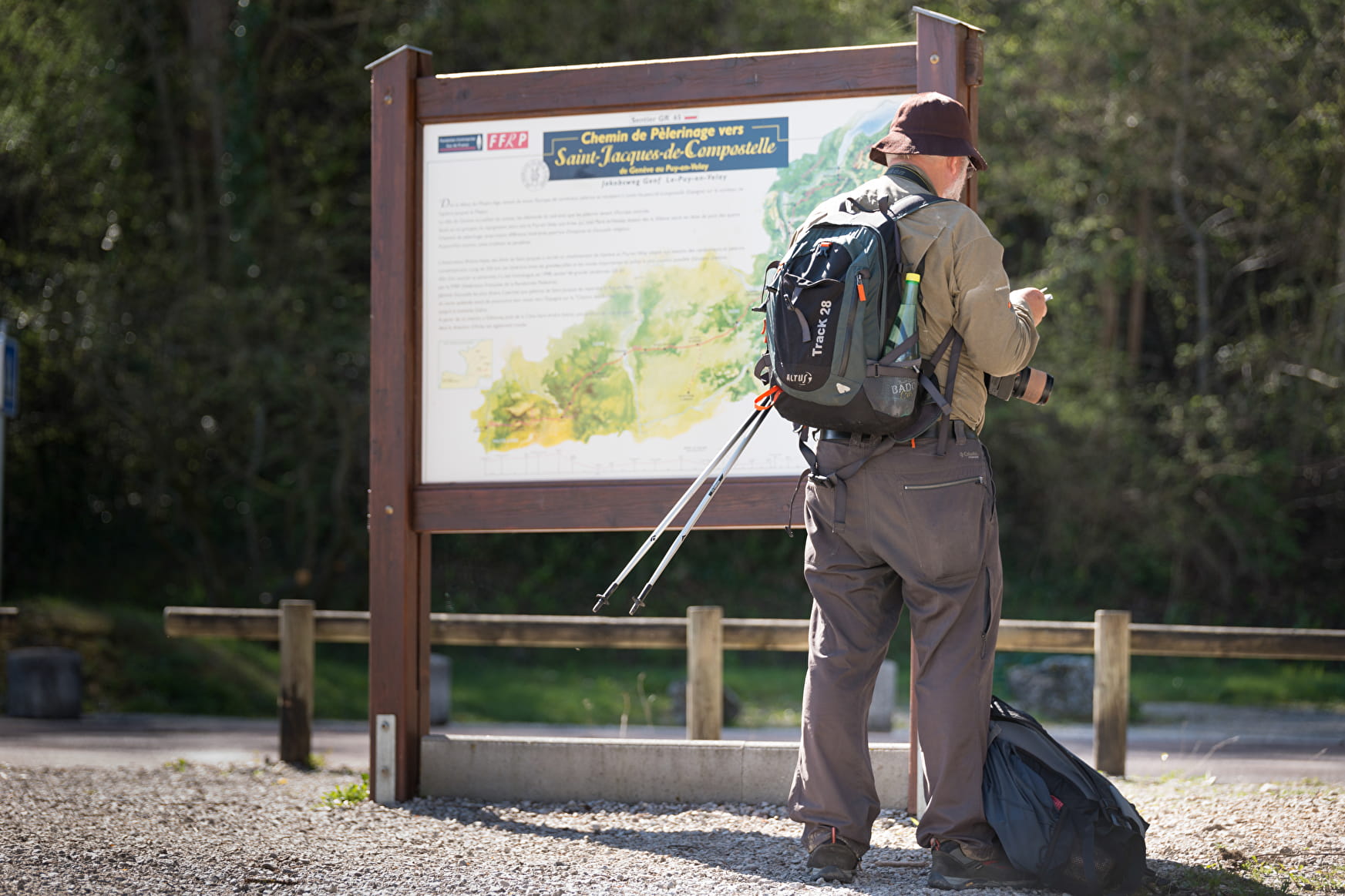
The Santiago de Compostela (GR 65) crosses our region from the Col du Mont Sion to the Pont du Fier bridge. Follow in the footsteps of the pilgrims of the Middle Ages and explore our landscapes and Jacobean heritage.
Maximum altitude: 1,433 m
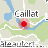
Sport Hiking along the Santiago de Compostela - GR 65 route Frangy
About

Further informations
Ground, Hard coating (tar, cement, flooring)
1 3


Prices
Free of charge.
Reception
Period of practice
Path accessible all year round depending on the weather.
Services
- Pets welcome
- Coach access
- Restaurant


