- Sport
Hike: La Belle Etoile
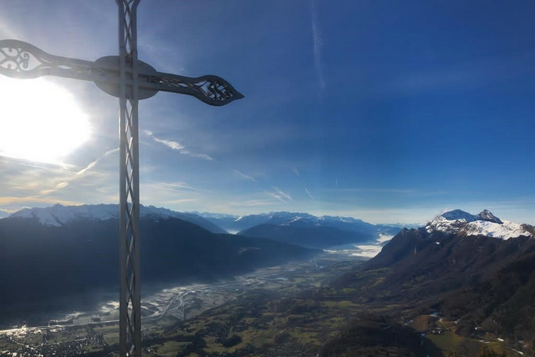
La Belle Etoile is the start of the long aerial ridge going all the way to the Dent de Cons. Its summit offers a magnificient panorama of the Combe de Savoie, the Bauges, the edge of Maurienne, the Belledonne mountain range and Mont-Blanc.
Sport Hike: La Belle Etoile Faverges-Seythenex
About

1 2


0/ From the carpark Les Teppes in Mercury
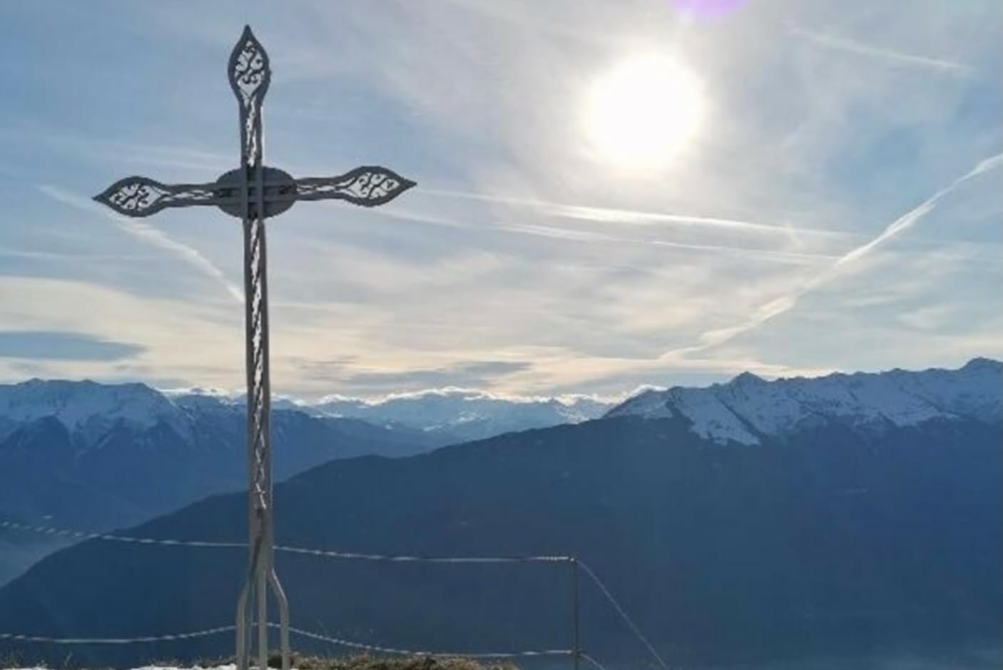
1/ Take the path ascending parallel to the forest track. Wide and well signed, it's pleasantly winding through the Chevron forest before leading onto the ridge at the place called Croix de Périllet (1710m high).
2/ From this promontory, there is a beautiful view of the Combe de Savoie and the path of the aerial ridge (not recommended to people afraid of heights or in rainy weather) leading to the top of the Belle Etoile.
Prices
Free access.
Reception
Period of practice
All year round.
Services
- Pets welcome