From the Linga carpark follow the direction of Aity d'en Haut. Follow the track on your left entering a beautiful spruce forest.
At the Pertuis d'en Bas mountain pasture, the trail becomes a path and leads to the Pertuis d'en Haut mountain pasture, where you can see the chalet.
At the chalet, continue the ascent on your left until you reach the Col de Fécon, which can be perceived in the middle of the "voraches", the local name given to the wild alder.
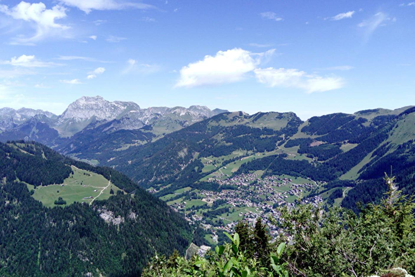
The itinerary then becomes rougher and it is not uncommon to be able to observe deer and chamois, if you're discrete. Cross over the ridges and pass by the Plan des Mitres and the Pointe du Midi to admire the picturesque and beautiful view over the Abondance valley, Morgins and the Swiss Alps.
Once at the Pointe du Midi, turn left onto the path through the undergrowth without leaving it until you reach the place called "Les Blattes". At this level, turn left to reach the Aity d'en Haut where you find the original route.
- Sport
Walking route - Boucle de la Pointe du Midi
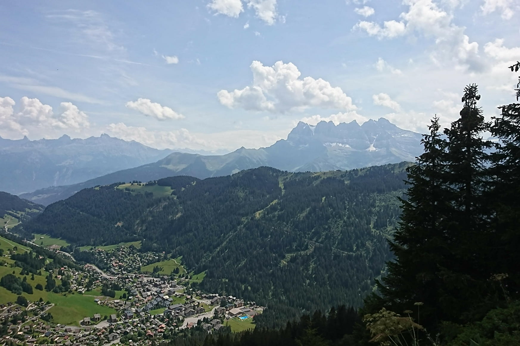
During this walk you will cross mountain pastures and forests to reach Pointe du Midi, which offers you a magnificent panoramic view of the Valley and neighbouring Switzerland. Maybe you will see chamois there.
About

Signs
Departmental markings called P.D.I.P.R. on beige metal panels with green lettering.
Difficult passages
Some steep and aerial passages
Map references
Top 25 IGN 3528 ET
Topoguides references
Châtel walking map for €3 Topo guide "Balades et randonnées en Vallée d'Abondance" (Walks and hikes in the Abondance Valley) for €5 (Maps for sale at the tourist office)
Further informations
Stone, Ground

Prices
Free access.
Reception
Whichever walk you choose, we recommend that you :
- Wear appropriate footwear and always take with you: warm clothing, preferably waterproof, plenty of water, sunglasses, sun cream and a small first-aid kit.
- Do not set off alone.
- Inform someone living in the valley of your plans.
- Do not change the planned itinerary indiscriminately. But do not hesitate to shorten it if necessary.
- Carry a map and even a torch.
- Check the weather forecast before setting off.
- In the event of a thunderstorm, move away from ridges, passes and summits as soon as possible and never take shelter under an isolated tree.
Dogs must be kept on a lead due to the presence of herds.
Period of practice
From 01/06 to 31/10.
- Pets welcome
- Car park
- Free car park
Contacts
Access
Start: Parking Linga - Châtel
The closest bus stop: Shuttle line 1, stop "Linga" (summer and winter seasons)