- By car from Beaufort, go up to Roselend dam on the D925 then the D217 towards Cormet de Roselend and park your car next to the refuge Plan de la Lai.
- By foot, follow the sign: Col des Sauces and refuge du Col de la Croix du Bonhomme: Follow the trail that crosses 2 streams near the chalets. The trail climbs towards the Col des Sauces through the alpine pastures, cutting a track several times. Arrived at the Col des Sauces (2307m) continue the path from the Gittes ridge to the refuge.
Return by the same route.
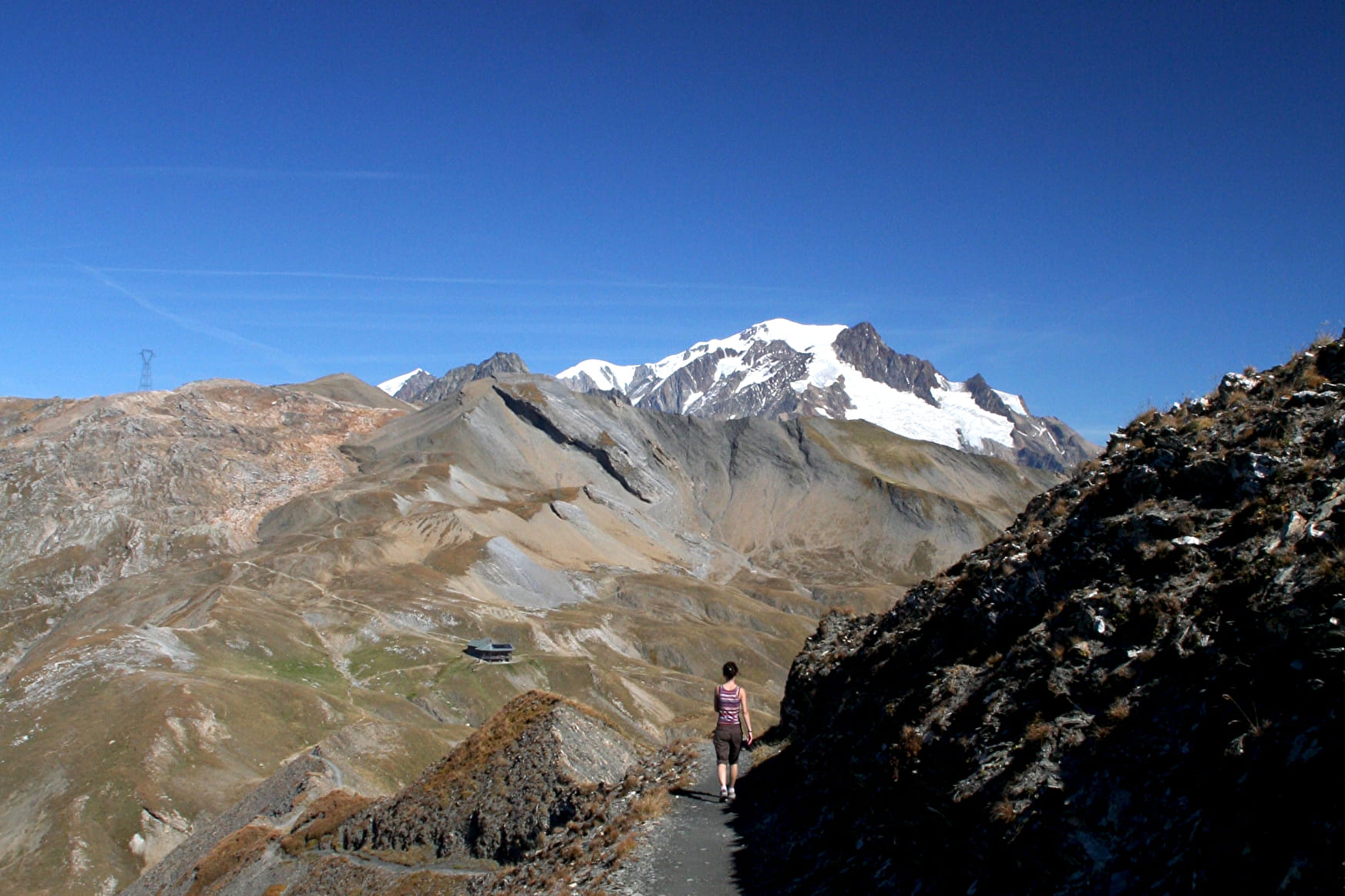
To extend the hike, it is possible to climb to the Tête Nord des Fours at 2756m where is installed a useful orientation table in view of the magnificent panorama. walk up 1hour and 15 minutes more.
Return by the same route.
- Sport
Hike to the Refuge du Col de la Croix du Bonhomme
Savoie Mont Blanc's choice
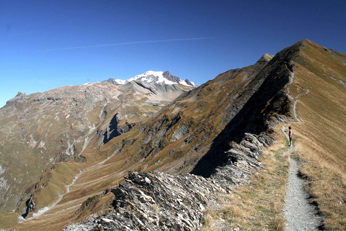
This beautiful route leads you to the refuge by the famous Crête des Gittes, the path is carved in the schists of the steep slope, below the ridge line. The refuge at 2433m altitude, was enlarged around the old building.
Sport Hike to the Refuge du Col de la Croix du Bonhomme Arêches-Beaufort
About

Further informations
Ground
1 4


Prices
Free of charge.
Reception
Period of practice
From 15/06 to 15/10.
Services
- Pets welcome
Contacts
Access
- By car from Beaufort, go up to Roselend dam on the D925 then the D217 towards Cormet de Roselend and park your car next to the refuge Plan de la Lai.