- Sport
Hauteluce - Fenetre pass
Savoie Mont Blanc's choice
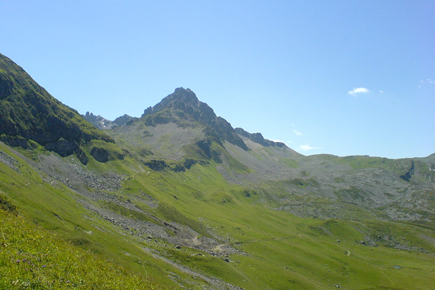
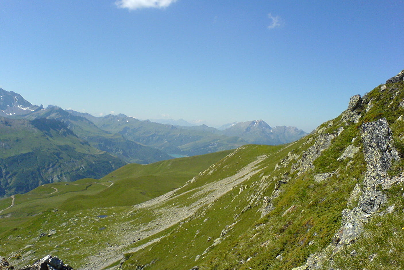
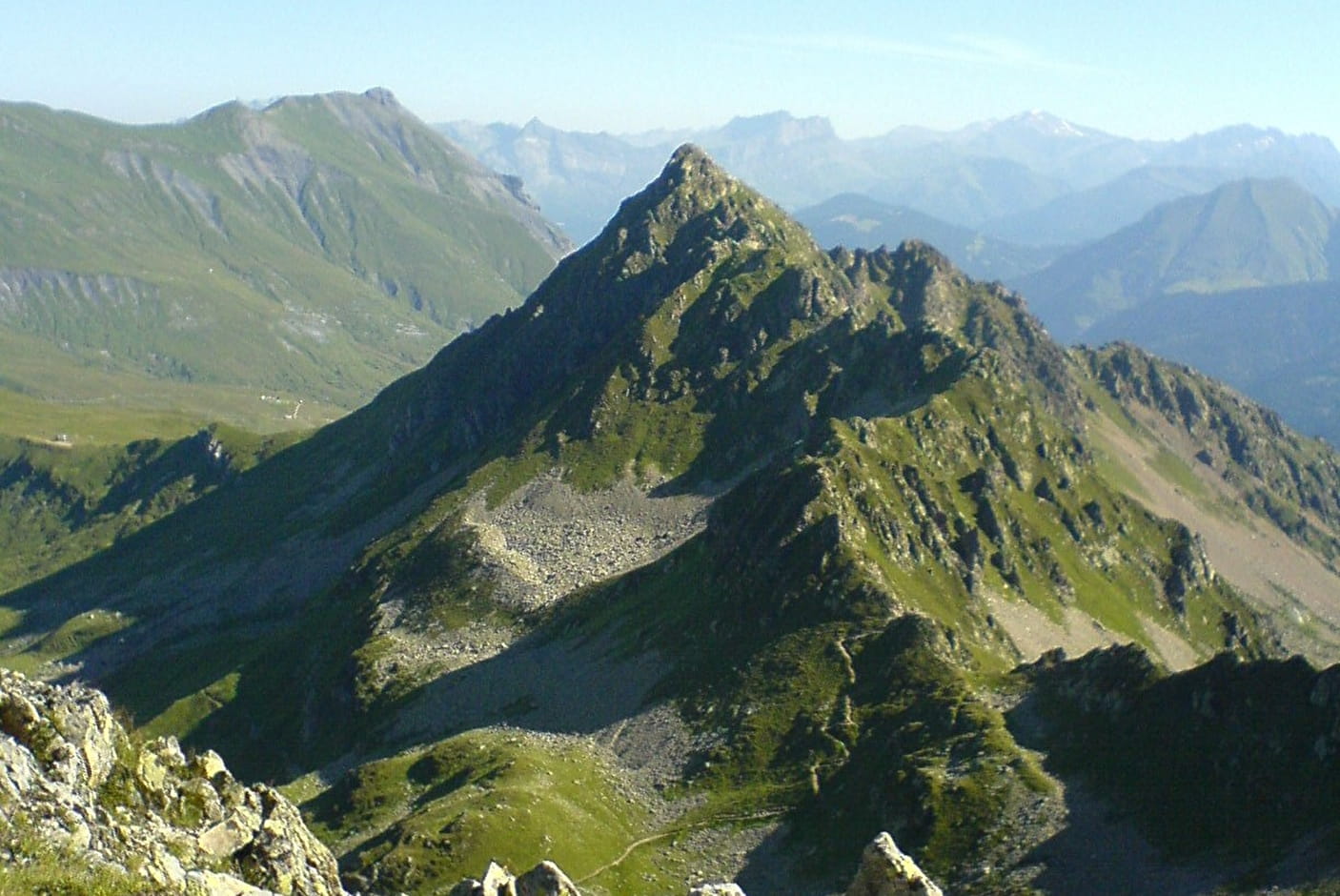
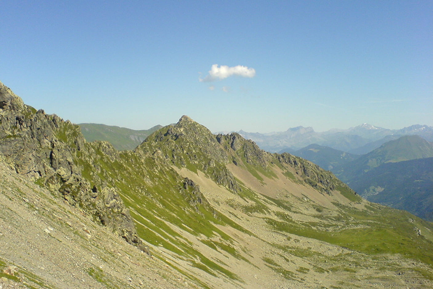
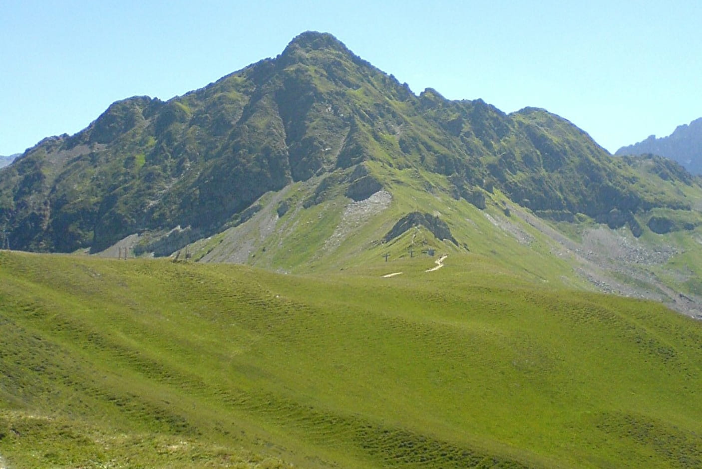
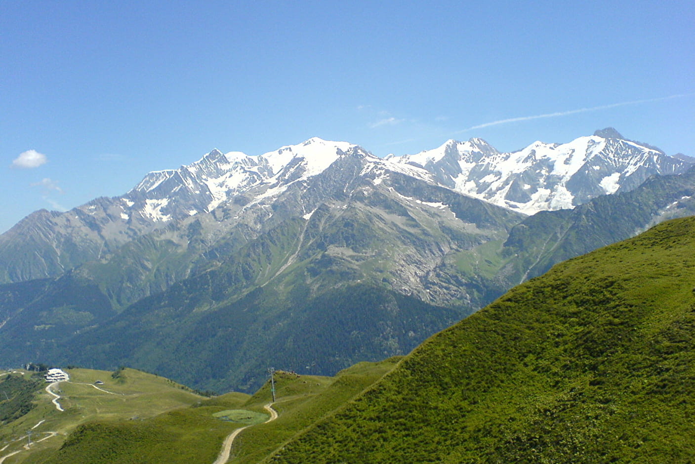
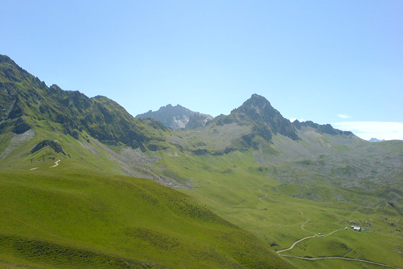
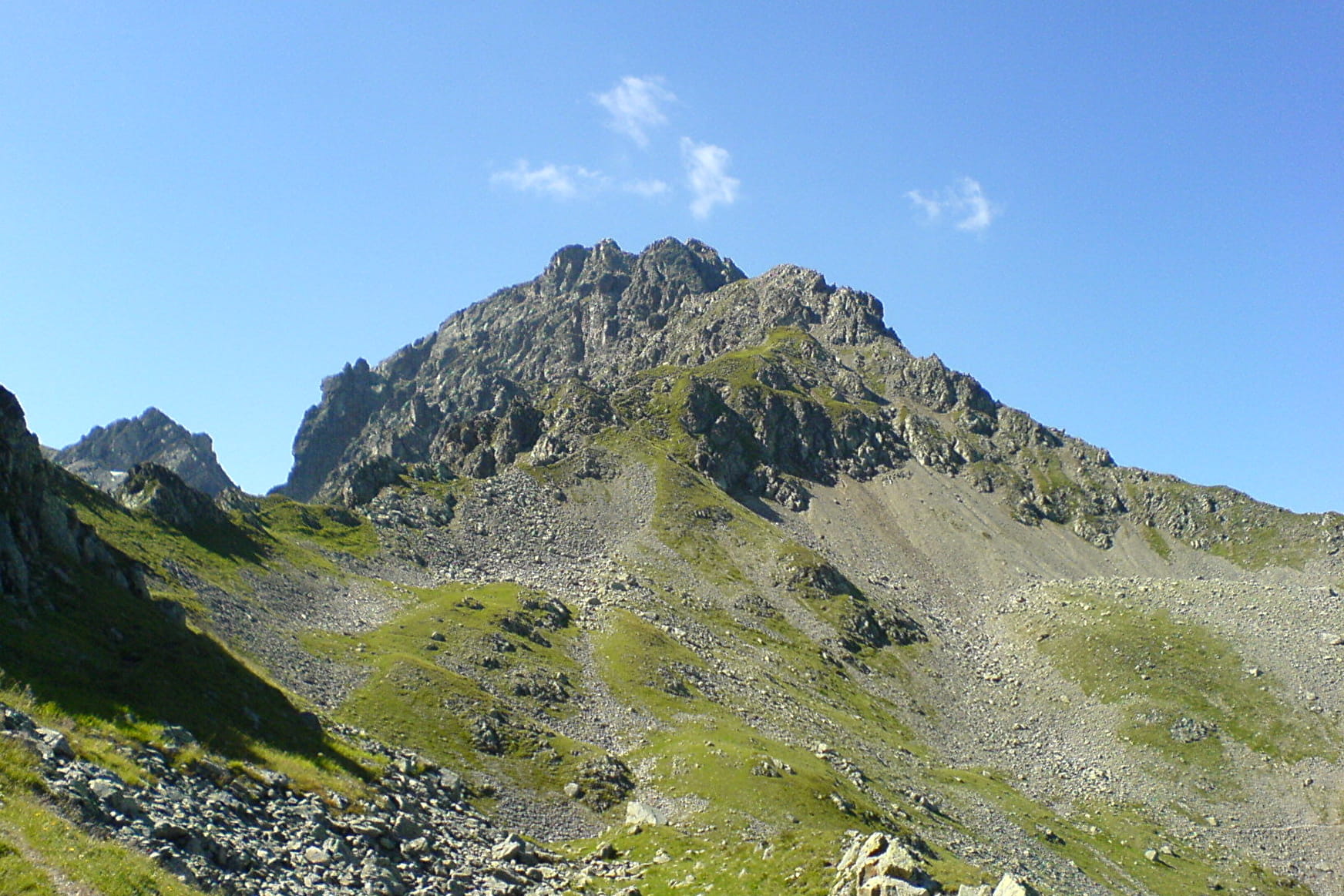
This hike, linking the Col du Joly to the Col de la Fenêtre, allows you to evolve without great difficulty in a mountain atmosphere at an altitude of 2000 m. The itinerary offers beautiful panoramas of the Mont Blanc and Beaufortain massifs.
Sport Hauteluce - Fenetre pass Hauteluce
About

Map references
IGN map of hiking in Beaufortain on sale at the Tourist Office
Topoguides references
"Balades en Beaufortain" on sale at the Tourist Office
1 8


Prices
Free access.
Reception
Period of practice
From 01/05 to 01/10.
Services
- Pets welcome