• Sport

Entre Tournette et Charvin en 4 jours à pieds

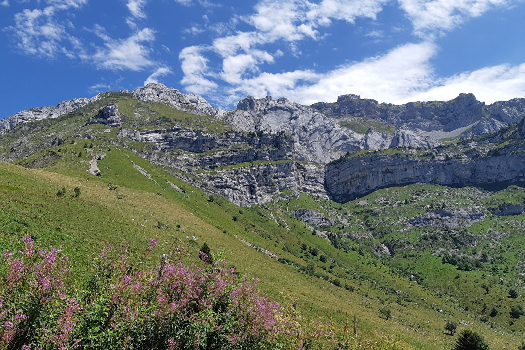
Sport Entre Tournette et Charvin en 4 jours à pieds Thônes

About

Departing from Thônes (74230)
Duration of the itinerary : 4 Days
Total elevation gain : 3433m
Vertical drop : 3106m
Distance : 45.65km
Signed walking trail
Animals allowed

Itinerary
Total elevation gain : 3433m
Altitude max : 2075m
Vertical drop : 3106m

Further informations

Rock, Ground

    1 3

    Prices

    Free access.

    Reception

    Animals allowed
    Not adapted to strollers

    Period of practice

    From 15/06 to 30/09.

    Services
    • Pets welcome

    Access

    1 rue Blanche 74230 Thônes
    Departing from : Thônes (74230)
    Latitude : 45.88186 - Longitude : 6.324483
    Information update on 18/04/2024 by Office de Tourisme de Thônes Cœur des Vallées