


Marmots' calls greet you as soon as you leave the village. Cross the Sainte-Marie stream and embark on one of the area's most beautiful approach hikes. The Pramaria woods are wonderfully cool and refreshing. Spruce and fir trees dominate here. Can you feel the serenity? Suddenly, as if by magic, Massif du Mont Cenis rears its head on the opposite slope. When the Lombarde starts to blow, an astonishing sight often begins to unfold as clouds envelop the Col. A well-deserved food stop may tempt you to stay overnight in this unsupervised refuge. In the hamlet of Cuchet, ruins and restored chalets come together to create an authentic mountain atmosphere, showcasing traditional life in the mountain pastures. Herds, marmots, and chamois often share this living area. Sometimes, you can even spot the wings of a bearded vulture as it soars over La Turra ridge and the peak of Grand Vallon. At the fringes of Vanoise National Park, enjoy a succession of exhilirating viewpoints that'll give you wings as you make your way down a trail designed for experienced trail runners and hikers.
- Sport
Le Cuchet Refuge
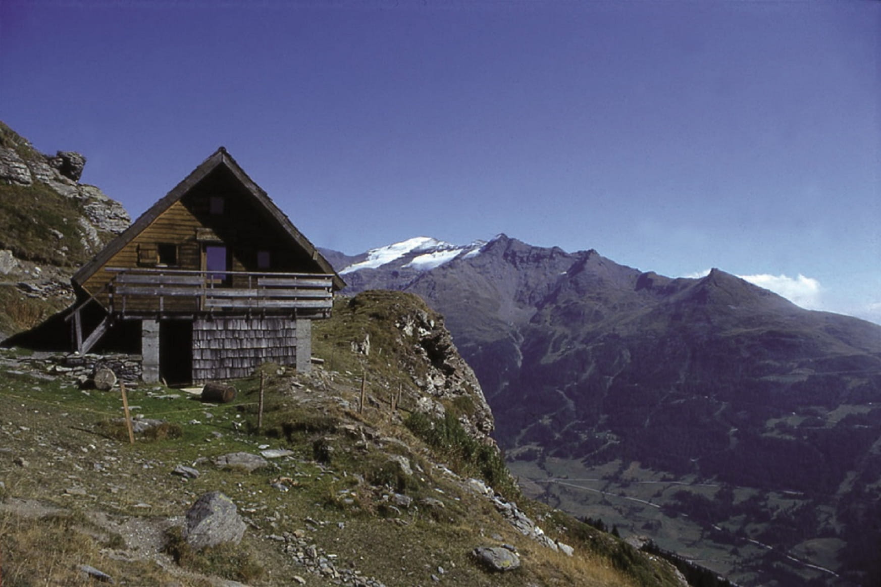
Cross an enchanting forest to reach a rocky promontory. Enjoy spectacular views as you journey through a wide range of mountain landscapes. Stop dilly-dallying! A breathtaking panoramic view awaits you up there...
Sport Le Cuchet Refuge Val-Cenis
About
Signs
Vanoise National Park markings.
Map references
Map and booklet "Walks and Hikes Haute Maurienne Vanoise" (sold for € 10 at the Tourist Office)
Topoguides references
Red route n°90
Further informations
Stone, Rock, Ground
To guide you in the field, consult the "step-by-step" directional diagram provided in pdf.
Prices
Free access.
Reception
Period of practice
From 01/06 to 15/10.
Subject to favorable snow and weather conditions.
Equipments
- Car park
- Public WC
- Charging stations for electric vehicles
Contacts
Access
By bus: Line S52 or S53 - Tourist Office stop.
By car: park near the Lanslebourg Tourist Office; electric vehicle recharging point on the side of the building.