
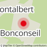
From the P4 car park, go up to the Bonconseil chapel. You can reach the chapel from the P2 car park by crossing the resort and its snow front. Take the road up behind the chapel and follow "Planay Dessus". Go up to the top of the hamlet and take the pastoral road towards the St Guérin chapel. After the 2nd chalet of Bochet, turn left, enter the forest and at the next crossroads, turn left on a nice path going down towards Plan St André. At Plan St André, turn left and go down towards Planay Dessus. Continue straight on a narrow path which leads back to the tarmac road. Turn left up to Planay-Dessus. Follow the direction of "Bonconseil" until you reach the chapel.
- Sport
Hiking trail : Plan St André
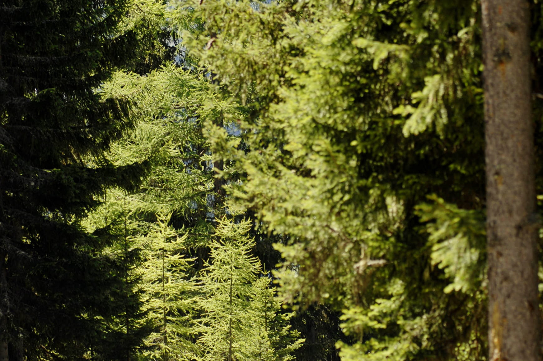
A beautiful path, mostly in the forest, with impressive views over the valley. Departure from the hamlet of Planay Dessus. Easy walk for the whole family.
Map available in digital and paper version at the Tourist Office of the resort.
Sport Hiking trail : Plan St André Sainte-Foy-Tarentaise
About

Signs
Yellow markings
Further informations
Ground, Grit
Prices
Free access.
Reception
Dogs must be kept on a leash due to the presence of herds.
Period of practice
From 01/04 to 30/11.
Subject to favorable snow and weather conditions.
Services
- Pets welcome