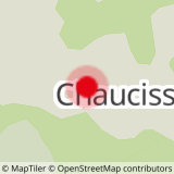
DEPARTURE: Parking entrance of the hamlet of Chaucisse - Information boards hikes.
ROUTE: From the car park, go down the road that crosses the hamlet towards Chozalets. Here, turn left onto the trail which later becomes a trail and join Nanchard. Return by the same route.
POINT OF INTEREST :
- a pretty loop between woods and near, on paths and trails. With each exit of forest, a new landscape is put in place.
- Sport
Chaucisse - Nanchard
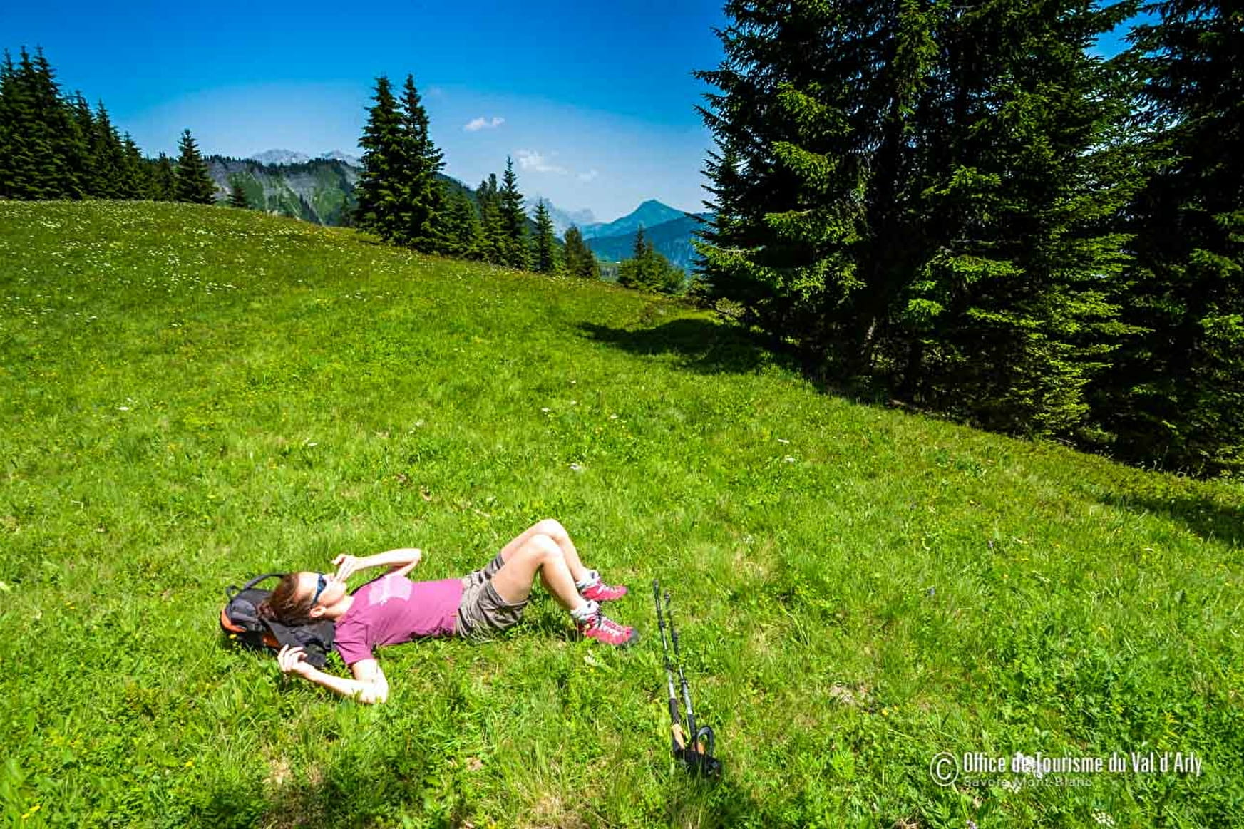
A beautiful course in balcony of Val d'Arly and Mont Blanc.
Sport Chaucisse - Nanchard Flumet
About

Signs
Marked with yellow signs.
Topoguides references
Walking and hiking map of the Val d'Arly for sale at 9 € or Topo Walks and Short hikes on sale at € 4 in the tourist offices.
Prices
Walking and hiking map of the Val d'Arly for sale at 9 € or Topo Walks and Short hikes on sale at € 4 in the tourist offices.
Methods of payment accepted : Bank/credit card, Check, Cash
Reception
Dogs must be kept on a leash due to the presence of herds.
Period of practice
From 01/06 to 30/09.
Services
- Pets welcome
Contacts
Access
Park in the small car park at the entrance to the hamlet of Chaucisse, opposite the "L'Authentique" snack bar.