Boucle du Fort de Tamié
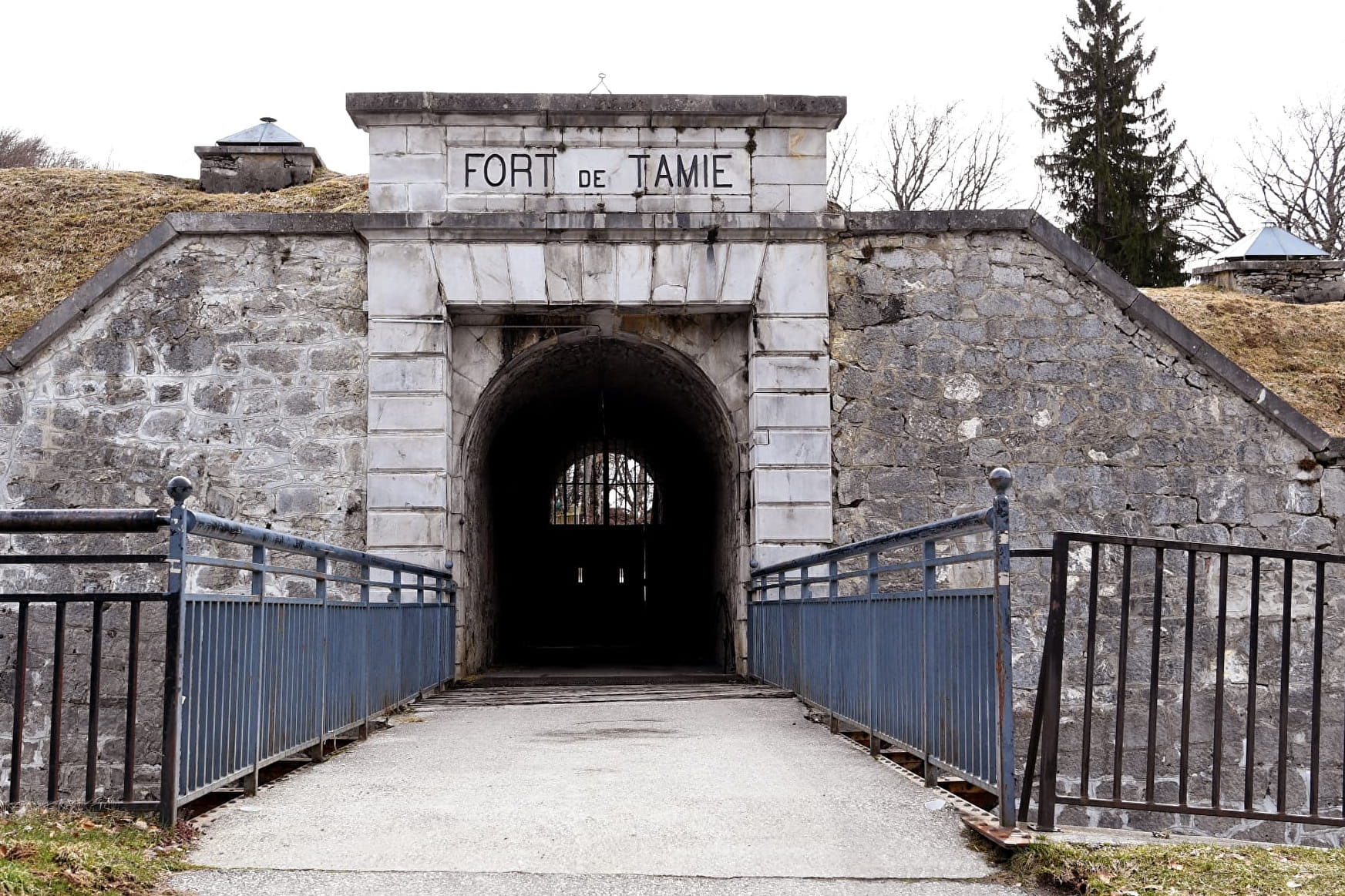

Boucle du Fort de Tamié Plancherine

About

Further informations
Ground, Hard coating (tar, cement, flooring)
Prices
Free access.
Reception
Period of practice
From 01/04 to 04/07 between 10.30 am and 6.30 pm.
Closed Monday, Tuesday, Thursday and Friday.
From 05/07 to 29/08, daily between 10.30 am and 6.30 pm.
From 30/08 to 24/10 between 10.30 am and 6.30 pm.
Closed Monday, Tuesday, Thursday and Friday.
From 25/10 to 07/11, daily between 10.30 am and 5.30 pm.
Subject to favorable weather.
Services
- Pets welcome
- Public WC
- Car park
- Defibrillator
- Free car park
Contacts
Access
- Accessible for wheelchairs with assistance
Motor Disability