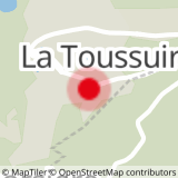
Departure: Tourist Office - La Toussuire
Distance and duration: 3.6 km - 1h30
Difference in height: 170 m
Take the road RD78 in direction of the crossroad Toussuire-Corbier.
At the crossroad, take the path in front of you in direction of Plan Chaud, going donw by La Sellière.
From Plan Chaud - East, follow the path along the road RD78A going up in direction of Plan Chaud - West.
From the croassroad, leave the road and turn left on the sloping path until Côte Ratel (behind the medical center)
From here, turn right to reach La Toussuire Tourist Office.
- Sport
"Boucle de Plan Chaud" walking path
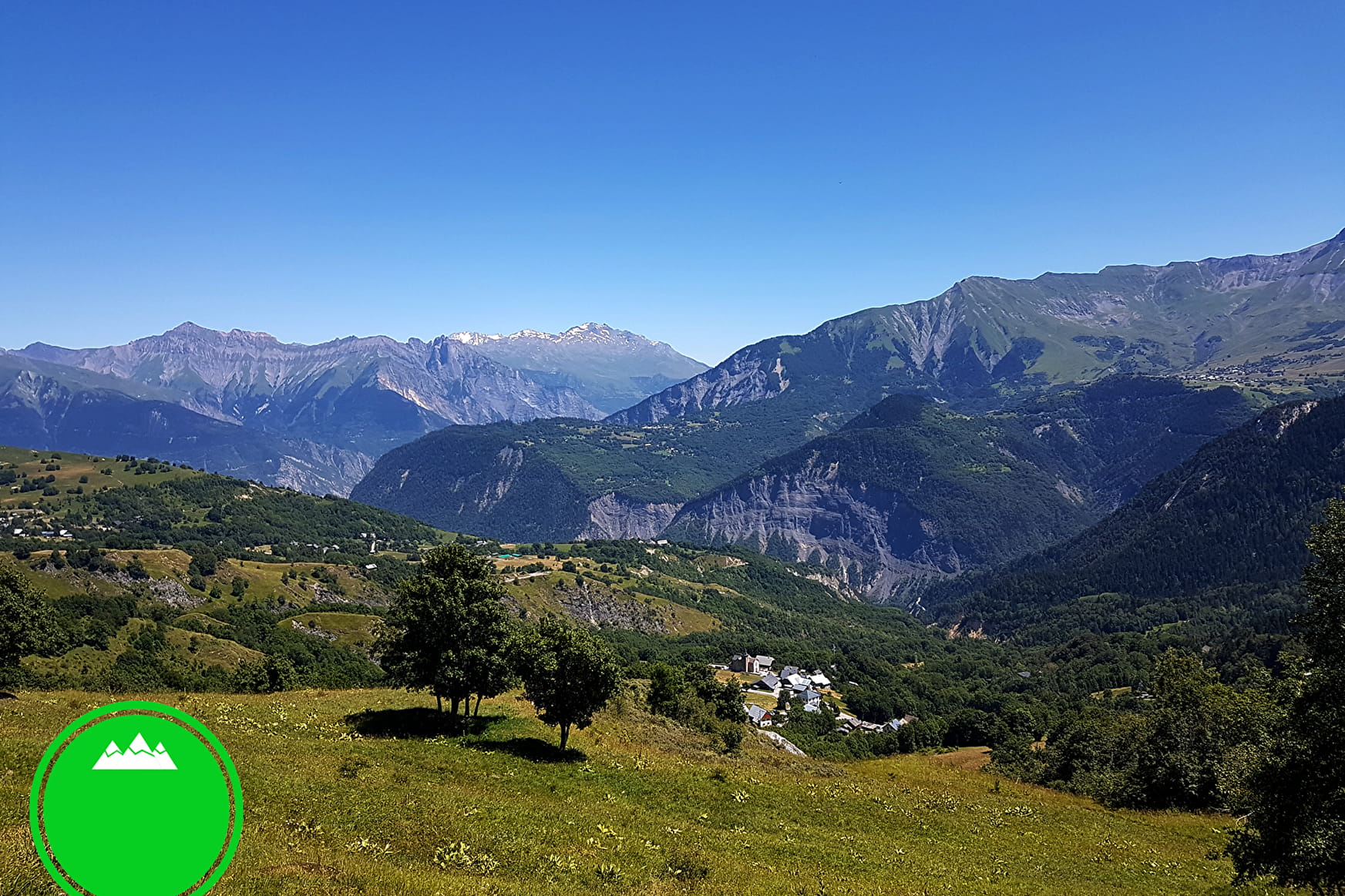
Walk between la Toussuire and Villarembert. On your way, have a look to the hamlets and Villarembert village.
Green level hike.
Sport "Boucle de Plan Chaud" walking path La Toussuire
About

Signs
Yelloow signs with direction and walking time
Topoguides references
Buy our 30 walks guide at La Toussuire Tourist Office (€5). Area: Villarembert, Le Corbier, Fontcouverte, La Toussuire, Saint Pancrace, Les Bottières, Jarrier
Possibility to go back to La Toussuire with the free touristic train.
Prices
Free access.
Reception
On your way, you may see cows or sheeps pens. Please, be careful of guarding dogs
Services
- Pets welcome
- Car park
Contacts
Access
- Not accessible in a wheelchair