Be careful, the descent to the river is quite steep
- Sport
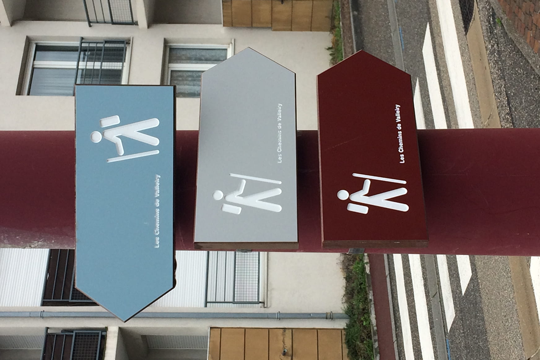
Blue route: Valleiry - La Joux
This route allows you to reach the hamlet of 'La Joux' with the option to go on to Viry. The return trip can be made on another path which goes through the forest and then alongside Nant di Longet.
Sport Blue route: Valleiry - La Joux Valleiry
About

1 1

Prices
Free access.
Reception
Period of practice
All year round.
Services
- Pets welcome
