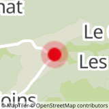
Set off from LE PLANAY car park. Go in the direction of BAN ROUGE up via Le Crêt, Chemin de la Peignière, Ruisseau de la Corne, La Corne, Sur le tré and Sous Ban Rouge. Return to LE PLANAY via Sous Ban Rouge, Col de la Basse Combe, Col de la Limace, La Limace, Le Bouza, Sous le Bouza, Plan Désert, Le Stomu, Le Chardonnet and Les Combes.
Option: if you have an extra hour available, from the Col de Basse Combe you can climb up to MONT DE VORES (2067m altitude).
TO SEE :
Panoramic views : the Val d’Arly boasts any number of viewpoints over the imposing Mont-Blanc and you will find yet another stunning example when you get to Ban Rouge. An orientation table and superb views await at 1983m altitude.
- Sport
Hiking : Ban Rouge
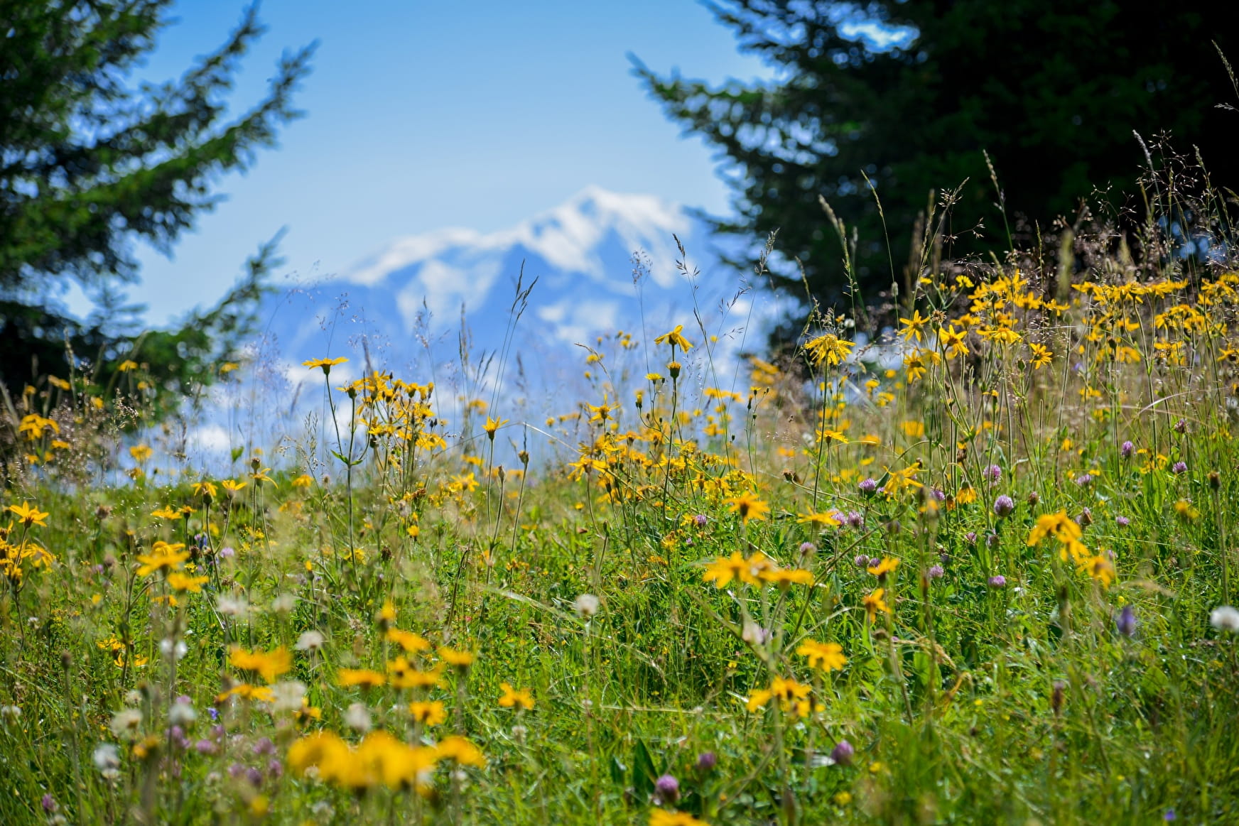
This lovely hike alternates between forests and alpine meadows, offering you a stunning view from the peaks of Ban Rouge towards Mont Blanc. An orientation table will help you identify the various summits in the distance.
Sport Hiking : Ban Rouge Notre-Dame-de-Bellecombe
About

Signs
Marked with yellow signs.
Further informations
Ground
Prices
Map of walking routes on sale at the Tourist Office at € 9.
Reception
Period of practice
From 01/05 to 31/10.
Subject to snow conditions.
Services
- Pets welcome
- Car park
- Orientation board
- Free car park