An orientation table shows you the summits with evocative names.
Do you recognize the "Tête du Chat"?
And look at the altitudes indicated :
most of them are around 3 000 meters !
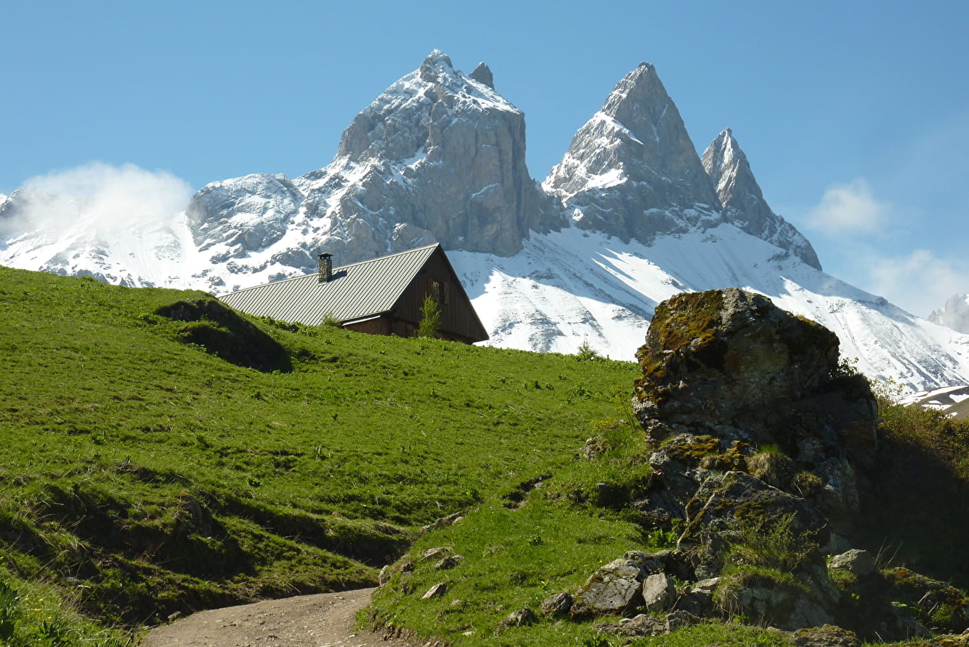
It was not until 1839 that the first mountaineers climbed the Aiguille centrale. But for you, no doubt about the direction: the Aiguilles d'Arves is straight ahead!
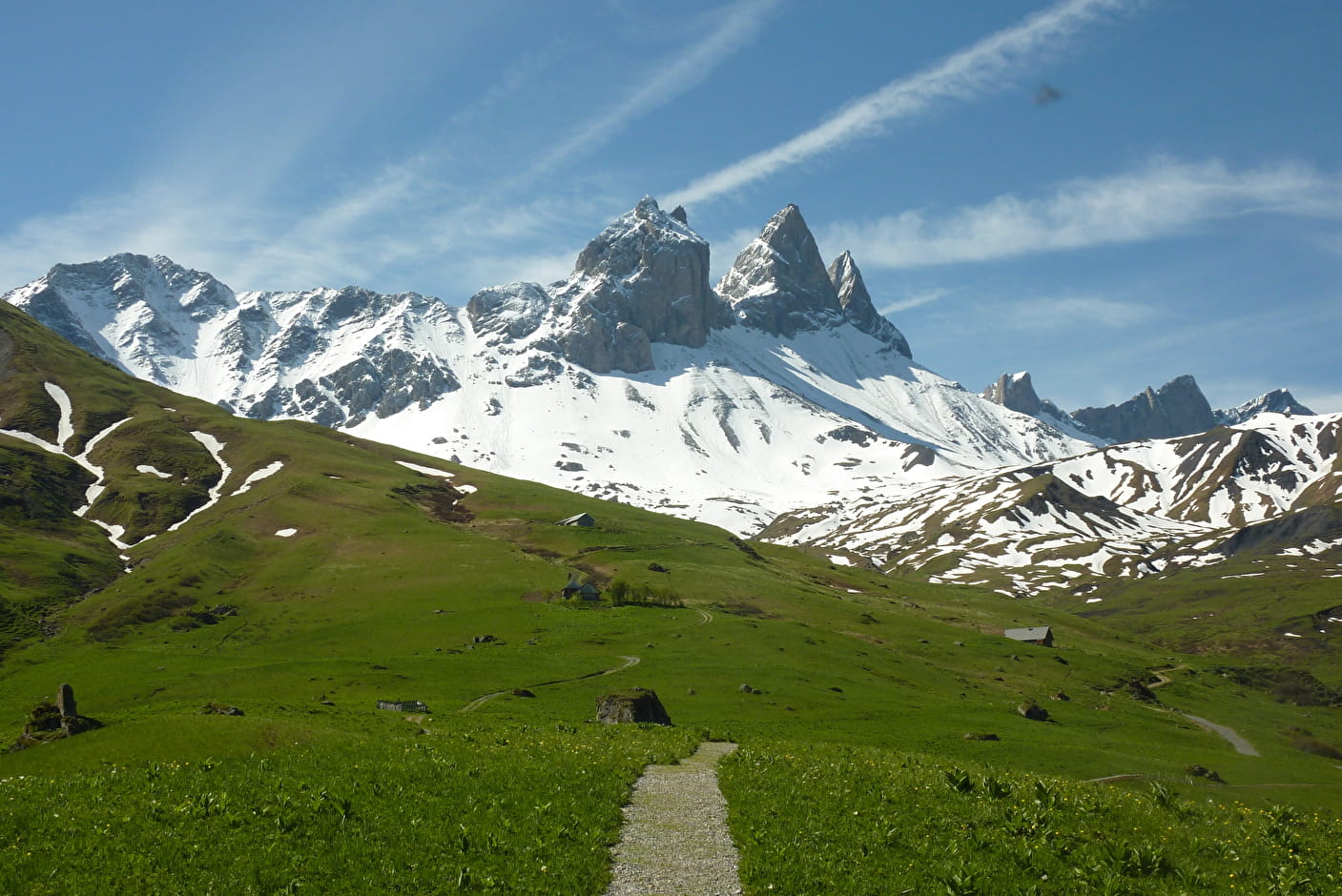
The first part of the path is quite easy. Take advantage of it to stroll among the old chalets. After crossing the footbridge that allows you to cross the stream without getting your feet wet, the slope becomes steeper.
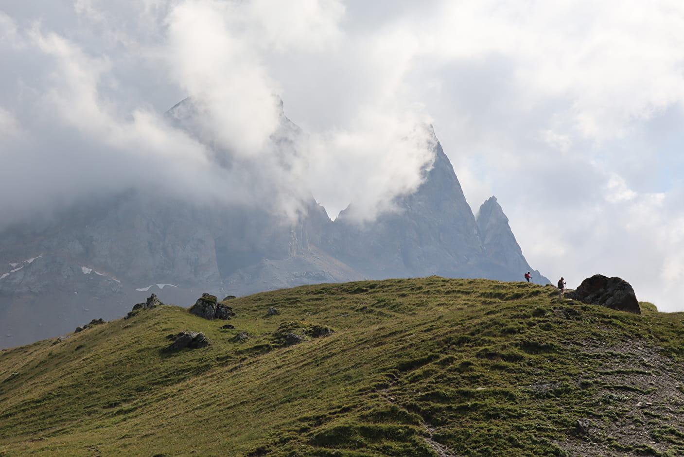
The path sinks into a landscape that is more and more mineral and chaotic. A few more efforts, and you find yourself at the foot of the three majestic ladies who raise their points until they touch the sky.
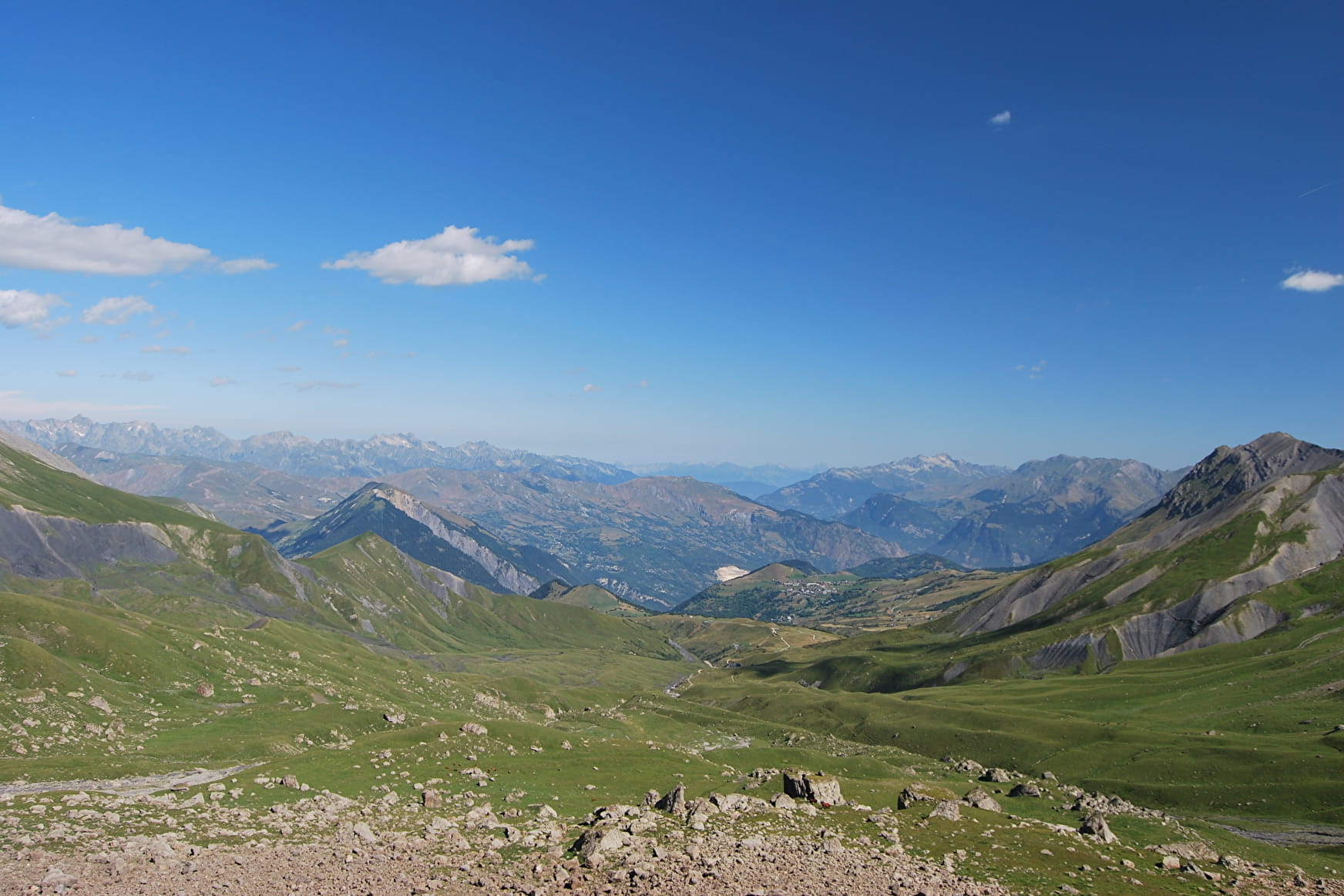
After having admired this splendid picture, you will be able to return, another spectacle awaits you. This time it is towards the valley that the path plunges and your glance...
- Sport
At the foot of the Aiguilles d'Arves from Le Chalmieu
When you put on your hiking boots on the parking lot you can already see them... the Aiguilles d'Arves are beckoning you, like three stone giants. Answer the call of the mountain and come and see them up close, they have so much to tell!
About

Further informations
Rock, Ground


Departure : Parking of the relay above the village of Chalmieu. From the parking lot, follow the track towards Les Chabottes.
1/ At the crossroads turn right towards Le Lissolet. Continue towards Pré Valloire then follow La Mottaz.
2/ After the footbridge, turn right at the next intersection to leave the track and take the path to the Basse de Gerbier.
3/ At the Basse du Gerbier, the return can be done by the same route. VARIATION : Possibility to take on the left direction "Sous la Tête de Chat" (Be careful, the path is not marked with paint - only for good hikers)
4/ At the post Sous la Tête de Chat follow the paint markings to Plan Pradin, then go down the path to La Mottaz and its footbridge then to En Bouchin and its bridge.
5/ At the bridge of En Bouchin, turn right to a chalet with a small restaurant. Be careful when crossing the torrent on a rainy day.
On the way back, stations presenting the heritage of the site are set up
Discover also :
The heritage of Albiez :
. Guided tours of the baroque chapels offered by the FACIM and the mountain guides.
The village of Albiez-Montrond :
. Night strolls by the light of lanterns, punctuated with tales and legends and tastings (in summer and winter).
. Treasure hunt " Les énigmes du chat ". Fun for the whole family! Booklets available at the Tourist Office.
"Fantastic" walks on the Albiez plateau :
. The path of legends on Albiez-le-Jeune.
. The fairy chimneys (the Monk of Champlan in Albiez-le-Jeune, the "Demoiselles coiffées de la Saussaz"...) : come and observe the geological curiosities of the Albiez !
Prices
Free access.
Reception
Keeping a leash
Period of practice
From 15/05 to 07/11.
Accessible outside the snow period and depending on the weather conditions. Please contact the Tourist Office or the Town Hall for information on access conditions at the time. Recommended period of practice: spring - summer - autumn.
Subject to favorable snow and weather conditions.
- Pets welcome
- Car park
- Free car park
- Public WC
- Picnic area
- Orientation board
Contacts
Access
Departure from the parking of the TV relay above the hamlet of Chalmieu (go to the end of the paved road)
- Not accessible in a wheelchair