Start point: Lac Bleu Morillon village
Duration: 2 hrs return
Difference in altitude: 0m
Altitude at start: 700m
Altitude at finish: 700m
Map reference: Walking map to be requested from the Tourist Office
Pushchair access: Yes, with "all terrain" pushchair
Type of terrain: Earth and stones
Level of the walk:
- Stroll (0 to 300m difference in altitude/- than 2 hrs walking)
Particular difficulty: None
You can follow the river over a distance of 12km to Samoens and Sixt Fer à Cheval over completely flat terrain.
Another 10km further over more craggy terrain towards Fer à Cheval.
You can also follow the Giffre towards Taninges for several km.
Pleasant in very hot weather as there are cool areas due to being near the river. You will see rafting and paragliding. Passes near to the leisure centres at Morillon and Samoens.
Panorama of the Giffre valley.
- Leisure
"Au fil du Giffre" signposted trail
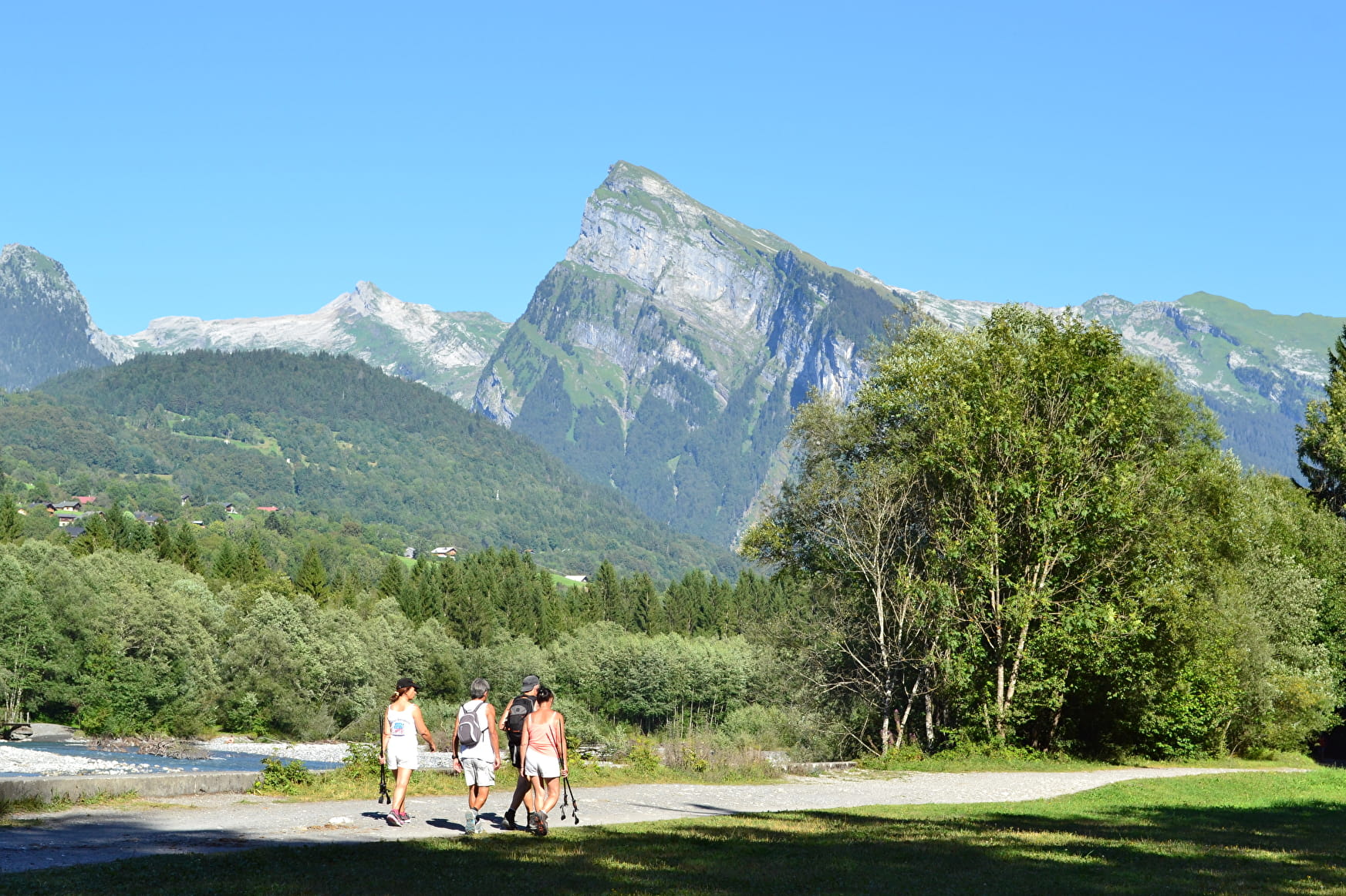
This itinerary along the Giffre allows you to choose between the Samoëns leisure center (2h round trip) or the Chartreuse de Mélan in Taninges (3h40 round trip). This trail is very pleasant by great heat because of the proximity of the river.
Leisure "Au fil du Giffre" signposted trail Morillon
About

Further informations
Ground, Grit
From the Lac Bleu de Morillon, walk along the left bank of the Giffre. At 3/4 of the way the R'Biole bridge allows you to cross the Giffre and to continue your way on the right bank. You will arrive at Lac aux Dames.
Reception
Period of practice
All year round.
Services
- Pets welcome