This 12 km loop is suitable for all types of hikers. The fairly low elevation allows beginners, children and trained walkers to discover various environments in an Alpine valley. The route follows a few small sections of road but the majority of the hike takes place in the forest and at the water's edge.
The loop begins at the Aigueblanche bridge (450m) and takes a well laid out and flat path along the Isère where a few benches are installed. Bird watching is quite common.
You can also start the hike from the spa resort of La Léchère, or from the Morel swimming pool in Aigueblanche
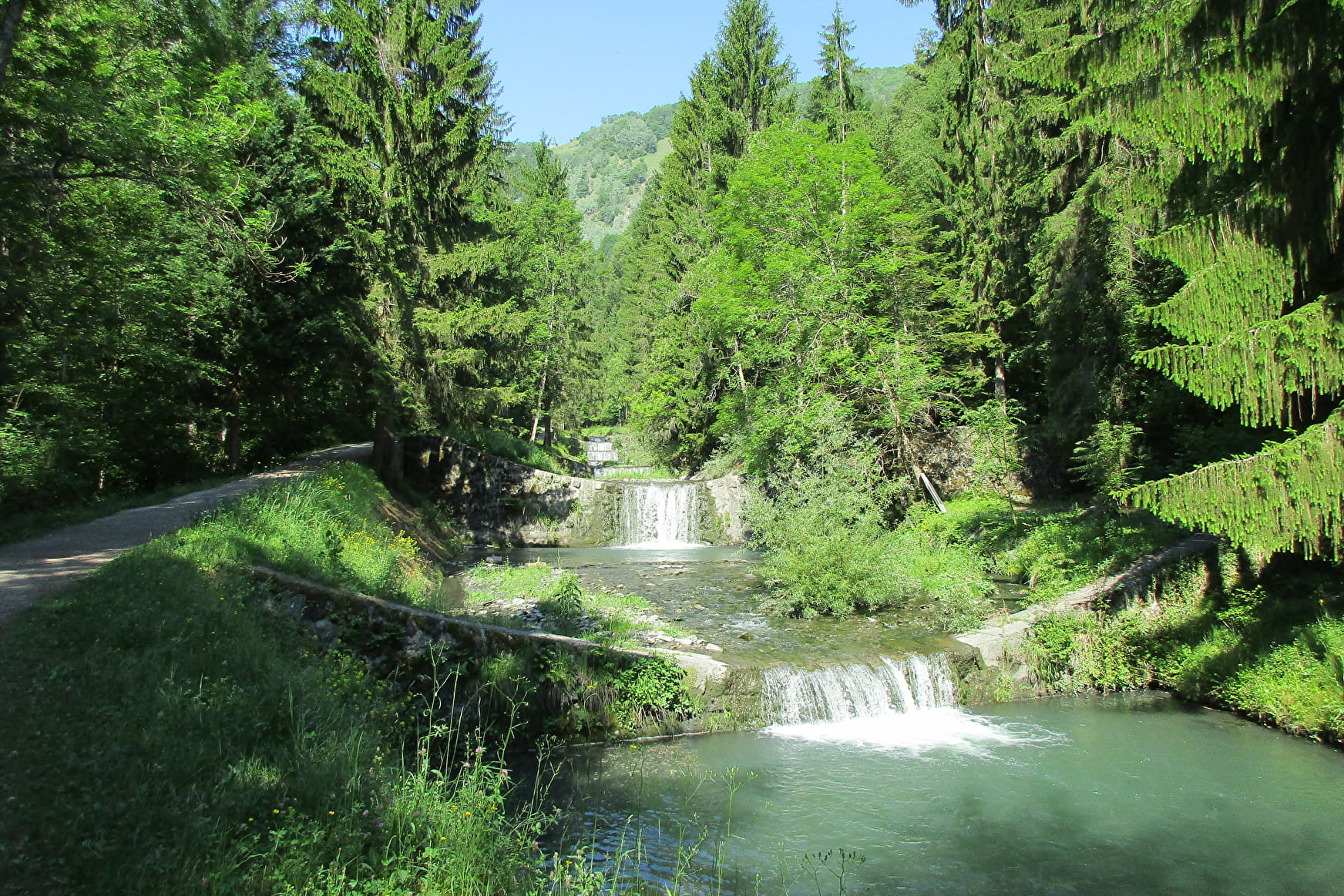
At the confluence with the Morel torrent, the route branches off to the left via a small undergrowth path along the numerous waterfalls that mark out this tumultuous stream. You cross the departmental road for the first time. At the Bellecombe bridge, after a second road crossing, you can continue on your choice on the 2 banks of the Morel. A botanical trail on your left, or an interpretation trail on the Morel facilities on your right. There is a picnic area on the left path.
A belvedere (610m) allows the end of the path, on each bank, to admire the Morel Waterfall, falling more than 80 meters high.
From the path on the right, walkers will then access via a small path to a beautiful panorama (625m) over the village of Saint-Oyen and the lower Tarentaise. Please note, this portion is also frequented by downhill mountain bikes. Then, begin the crossing of Saint-Oyen before diving into the forest which leads to the Bois Chaniet site by a small path in the shade and during which it is possible to observe various animals, ungulates, birds or insects for the luckiest or the most observant.
Chemin du Bois Chaniet then offers other botanical signs. It is also possible to observe vestiges of vine terraces today partially covered by vegetation. Workout-type workshops also mark the trail.
A gentle descent makes it possible to reach the edge of the Isère which the walkers will follow while crossing the Thermal Park of La Léchère-les-Bains. All that remains is to return to the Aigueblanche bridge by the Berges de l'Isère path, via the Morel swimming pool and the wooden walkway over the Morel torrent.
The loop can be done in both directions and is also practiced in trail.
Environment: deciduous forest, waterfront
Points of interest: forest environment, wildlife observation, thermal baths of La Léchère-les-Bains, Morel waterfalls, panoramas on the lower Tarentaise.
Total distance: 12 km (10 km if variant without the banks of the Isère)
Elevation + total: 250 m
Estimated duration: 3h30 to 4h00
- Sport
Au Fil de L'Eau - B23
A valley bottom course along the water and in the undergrowth ideal for families and on hot days.
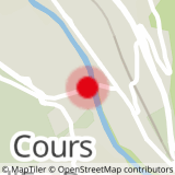
Sport Au Fil de L'Eau - B23 Grand-Aigueblanche
About

1 6


Prices
Free access.
Reception
Period of practice
From 01/06 to 31/10.
Services
- Pets welcome


