The trail starts near the parking of Trélechamp-le-Haut. It passes on the side of a big rock slab, then on the Plan de la Grange. Entering a beautiful forest of larches, it goes up diagonally until 1710m. Turn right and go up in twists and turns until **at the foot of the rocky bar of the Cheserys that you have to follow until the Aiguillette.
More information available at the Tourist Office or the Office de Haute-Montagne and in our trail guide.
Attention : The conditions of the trails are likely to change, think of informing you before leaving.
- Sport
Aiguillette d'Argentière hiking
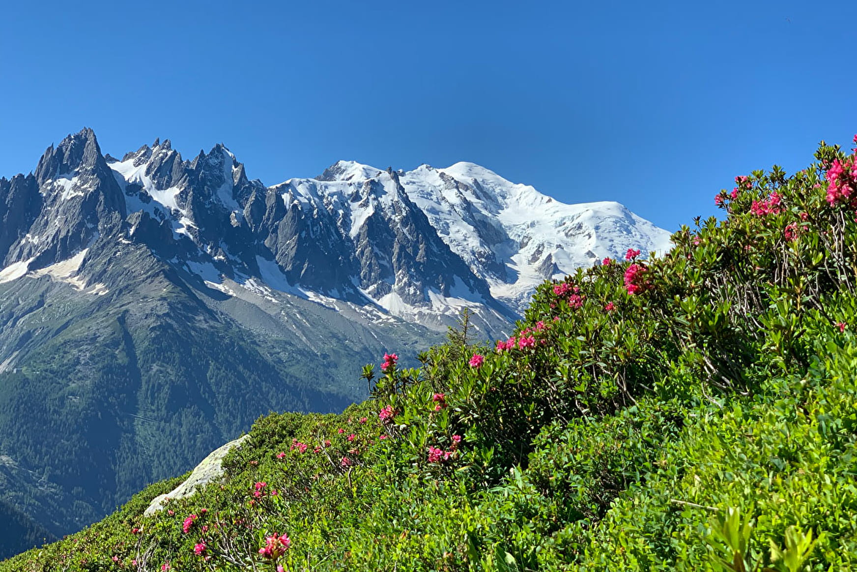
Stunning array of boulders at les Dalles des Cheserys. TMB Itinerary. Aiguilles Rouges Nature Reserve.

Sport Aiguillette d'Argentière hiking Argentière
About

Further informations
Stone, Ground
1 1

Prices
Free access.
Reception
Dogs are not permitted as the path is in the Nature Reserve Les Aiguilles Rouges.
Dogs are not permitted in the Nature Reserve Les Aiguilles Rouges.
Period of practice
From 15/06 to 01/11.
Subject to favorable snow and weather conditions.
Contacts
Access
Nearest car park: Argentière Gare
Nearest bus stop: Argentière
Nearest train stop: Gare d'Argentière
