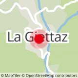
DEPARTURE: The village of Giettaz in Aravis with the church of Saint Pierre aux Liens and the museum of the past that tells the life of the Giettois.
ROUTE: From the Tourist Office, go down along the Route des Grandes Alpes to the Pont de la Giettaz. From here, turn left onto the ARRONDINE (steep portion). Continue on the trail until ROC DU CHARBONNIER and go downhill to the ARMOY. Cross the Arrondine and continue until PLAN. Return by the same route.
- Sport
A go and return trip to the Plan
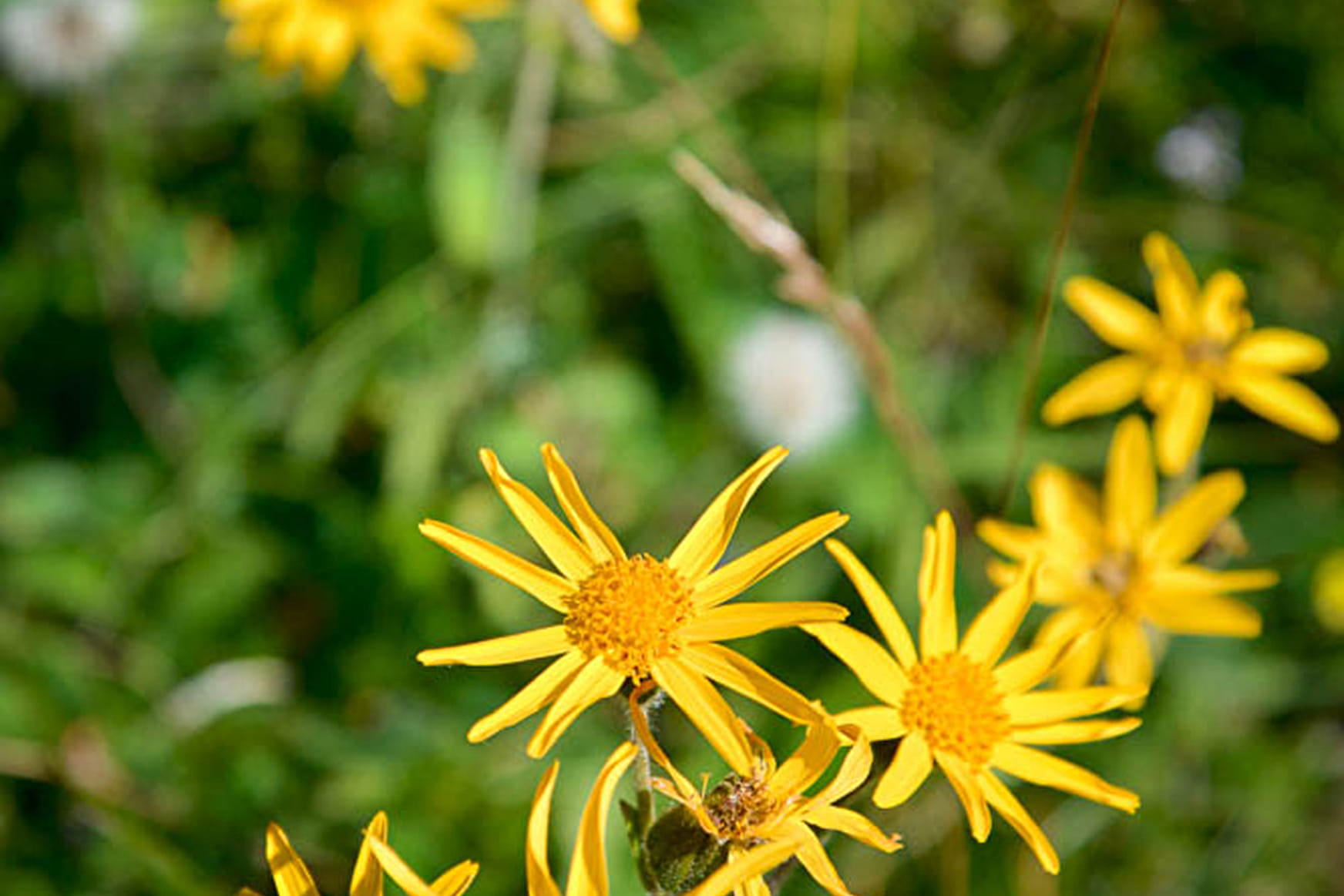
Freshness itinerary in balcony of the Arrondine.
Sport A go and return trip to the Plan La Giettaz
About

Signs
Marked with yellow signs.
Map references
Walking and hiking map of the Val d'Arly for sale at 9 € or Topo Walks and Short hikes on sale at € 4 in the Tourist Offices.
Topoguides references
Walking and hiking map of the Val d'Arly for sale at 9 € or Topo Walks and Short hikes on sale at € 4 in the tourist offices.
Prices
Walking and hiking map of the Val d'Arly for sale at 9 € or Topo Walks and Short hikes on sale at € 4 in the tourist offices
Methods of payment accepted : Bank/credit card, Check, Cash
Reception
Dogs must be on a leash.
Period of practice
From 01/06 to 30/09.
Services
- Pets welcome