You simply go to Lanslevillard and back, on very pleasant tracks where you'll encounter no difficulty and can enjoy views over both sides of the valley.
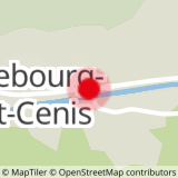
Departs from: Val Cenis Lanslebourg or Val Cenis Lanslevillard
25 - Cross-country - Green - Les Champs
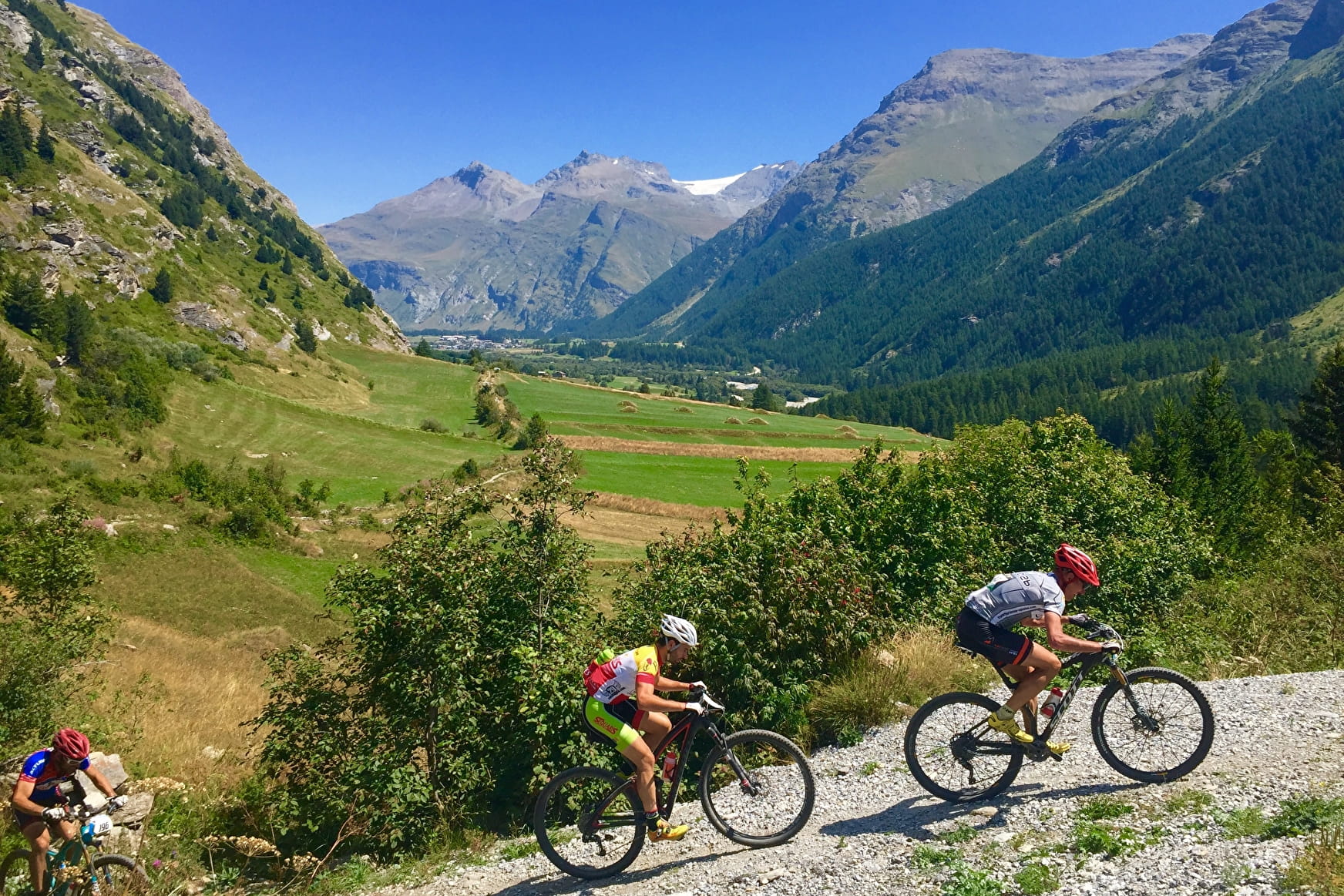
The track up to Lanslevillard is a gentle climb and the return descent poses no problems.
25 - Cross-country - Green - Les Champs Val-Cenis
About

Signs
French Cycling Federation signposting
Difficult passages
A slightly steep climb over a few hundred metres on a tarmac road.
Map references
Haute Maurienne Vanoise mountain bike map sold for €4 at Haute Maurienne Vanoise Tourist Offices.
Topoguides references
Haute Maurienne Vanoise mountain bike booklet sold in the Tourist Offices
Further informations
Stone, Ground, Grit
1 1

Prices
Free access.
Period of practice
From 01/05 to 01/11.
Subject to favorable snow and weather conditions.
Contacts
Access
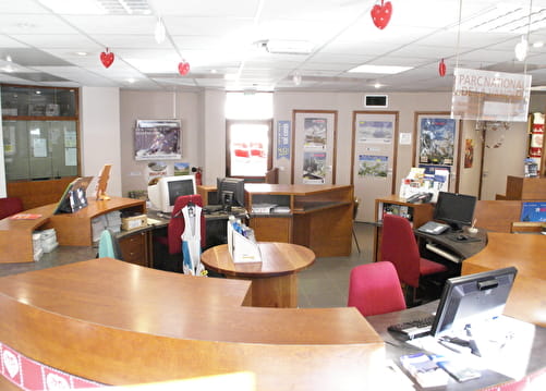
The start of the trail is at the Tourist Office in Lanslebourg, with parking nearby.
During the summer season, it is possible to take the bus line S52 (Modane - Aussois - Lanslebourg) or S53 (Modane -Bonneval/Arc) and get off at the "Office de Tourisme" stop; bus equipped with a bicycle trailer every day except Saturday.