An elevation gain of just under 200 metres to reach the summit of this itinerary which starts on a picturesque track. The only steep sections are on two bends below St Etienne Chapel. The return trip is via a track presenting no major difficulty. It is listed as a blue itinerary but is nevertheless an easy one and offers a lovely view over Lanslevillard village.
Departs from: Val Cenis Lanslevillard
16 - Cross-country - Blue - Les Sarrazins
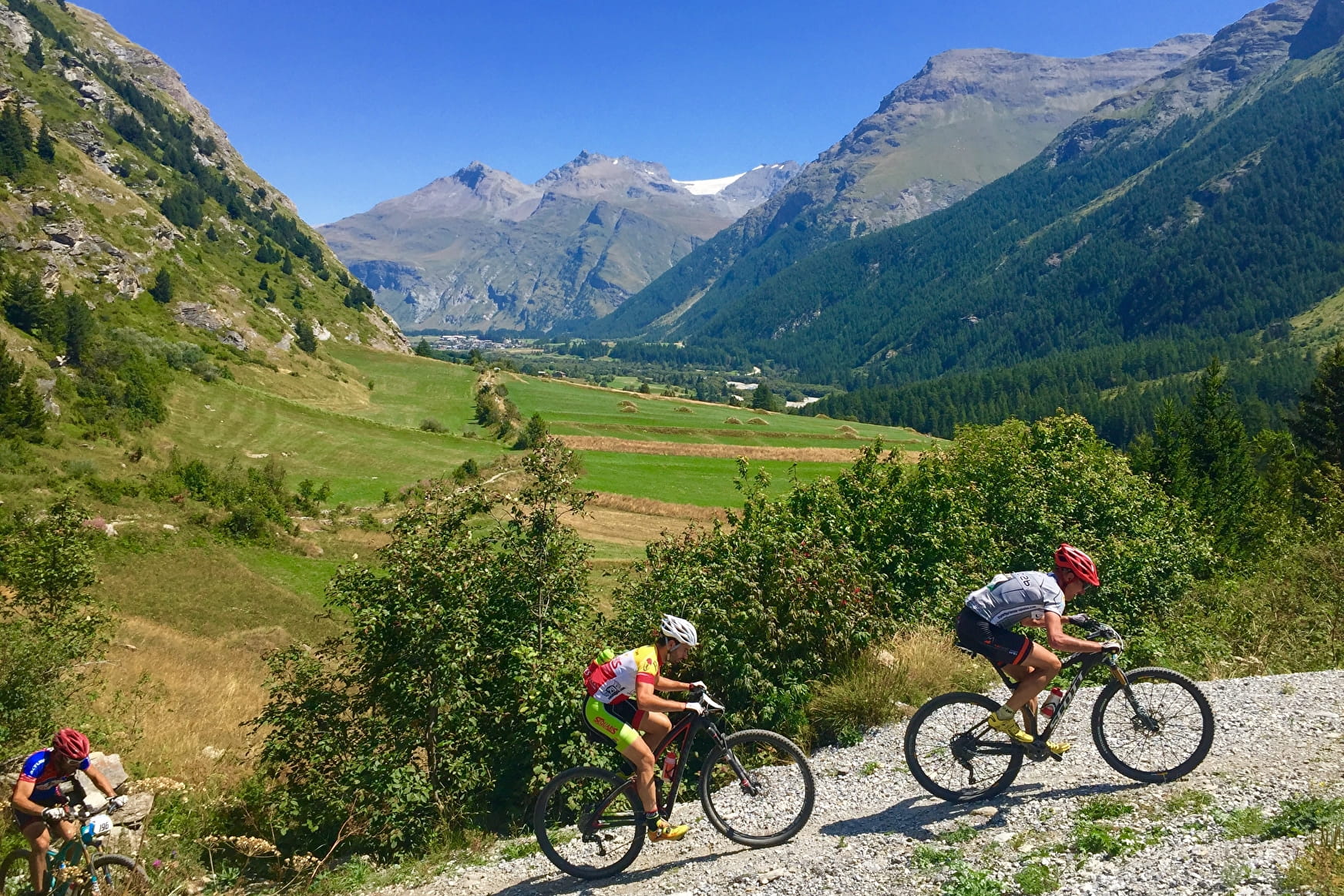
A lovely gentle itinerary above the resort on easy tracks offering beautiful views over the village.
16 - Cross-country - Blue - Les Sarrazins Val-Cenis
About

Signs
French Cycling Federation signposting
Difficult passages
A rolling course on a passable track.
Map references
Haute Maurienne Vanoise mountain bike map sold in the Tourist Offices
Topoguides references
Haute Maurienne Vanoise mountain bike booklet sold in the Tourist Offices
Further informations
Stone, Ground, Grit
1 1

Prices
Free access.
Period of practice
From 01/05 to 01/11.
Subject to favorable snow and weather conditions.
Contacts
Access
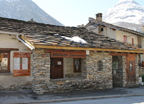
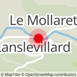
The start of the course is at the Lanslevillard Tourist Office, parking nearby.
In the summer season, it is possible to take bus line S53 (Modane - Bonneval/Arc) and get off at the "Pont Abribus" stop; bus equipped with a bicycle trailer every day except Saturday.