As in many mountain villages, some of Sardières' slopes are on the sunny side of the mountain while others are less well exposed.
This is an easy trail, from Sollières-Sardières to Termignon on a small section of the "Chemin du Petit Bonheur" track, returning via a small road.
Departs from: Val Cenis Sollières or Val Clenis Termignon
10 - Cross-country - Green - Le circuit des truites
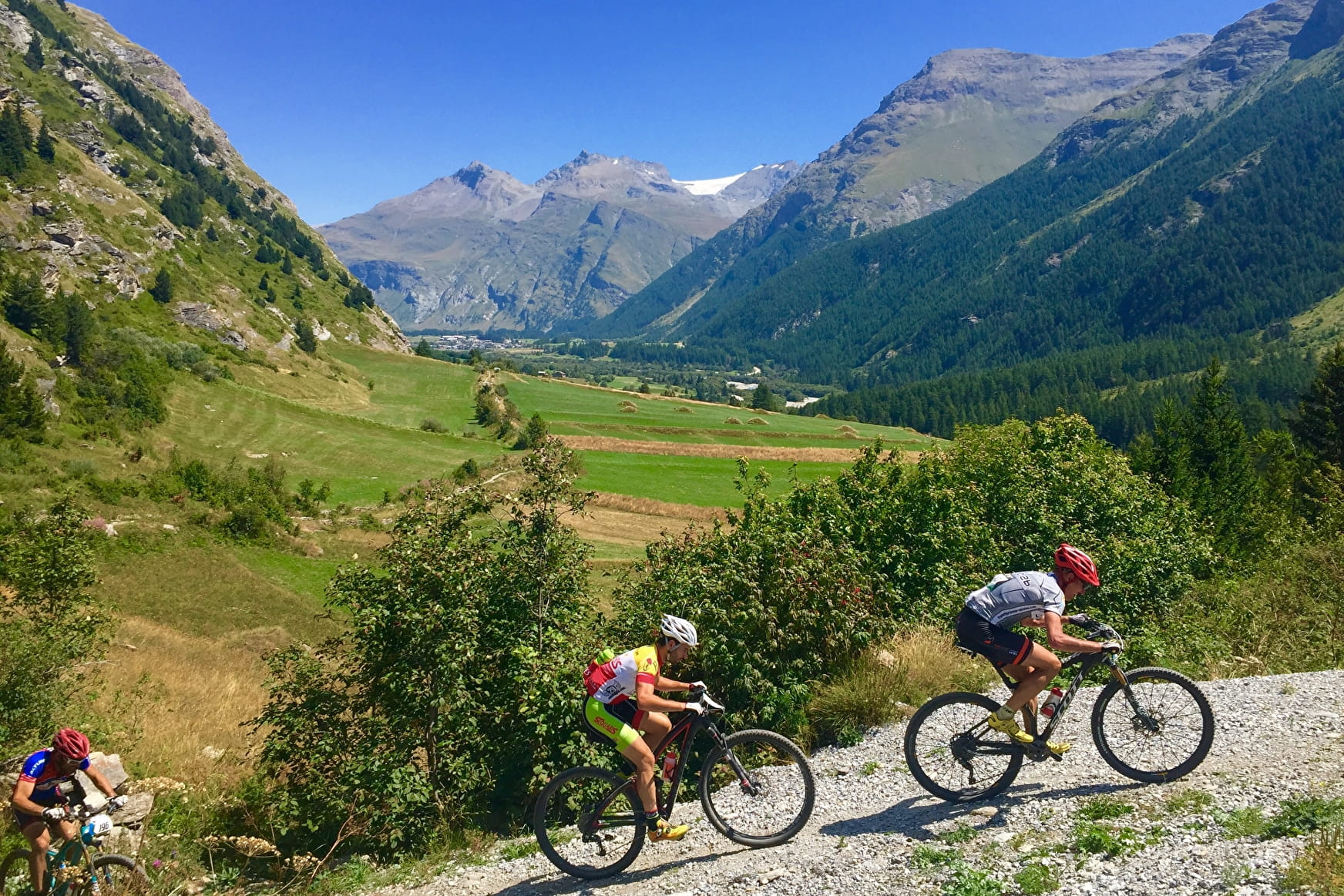
This short itinerary will delight beginners and families looking for an easy mountain-bike excursion.
10 - Cross-country - Green - Le circuit des truites Val-Cenis
About

Signs
French Cycling Federation signposting
Difficult passages
The entire route follows motorable tracks. Course on flats and false flats.
Map references
Haute Maurienne Vanoise mountain bike map and booklet sold for €4 at Haute Maurienne Vanoise Tourist Offices.
Topoguides references
Course 10 - cross-country - green level
Further informations
Stone, Ground, Grit
1 1

Prices
Free access.
Period of practice
From 01/05 to 01/11
Opening hours daily .
Subject to favorable snow and weather conditions.
Contacts
Access
In the summer season, possibility of taking bus line S53 (Modane-Bonneval/Arc) and getting off at the "Maison de la Vanoise / Mairie" stop; bus equipped with a bicycle trailer every day except Saturday.
By car, park in the car park at the foot of the Val Cenis Termignon slopes.