The itinerary visits the ARC riverbank via the "Chemin du Petit Bonheur" (or "Happy-go-lucky Trail"), returning via a pleasant singletrack path through the forest. This fairly flat, highly accessible trail takes you through the quiet hamlet of Le Châtel where tranquillity reigns!
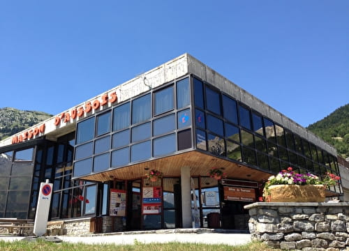
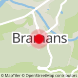
Departs from: Val Cenis Bramans
1 - Cross-country - Blue - Le Châtel
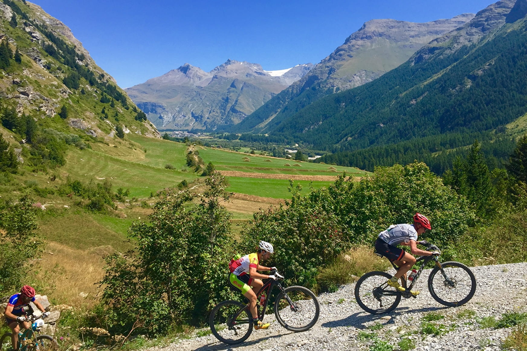
This is an easy, mostly singletrack itinerary presenting no real technical difficulty.
1 - Cross-country - Blue - Le Châtel Val-Cenis
About

Signs
French Cycling Federation markings
Difficult passages
The climb towards Châtel is a bit physical. Pushing or carrying possible for a few meters. The descent after the Hameau du Châtel can present some difficulties over 50m.
Topoguides references
Haute Maurienne Vanoise mountain bike booklet sold in Tourist Offices.
Further informations
Stone, Grit, Ground
1 1

Prices
Free access.
Period of practice
From 01/05 to 01/11
Opening hours daily .
Subject to favorable snow and weather conditions.
Contacts
Access
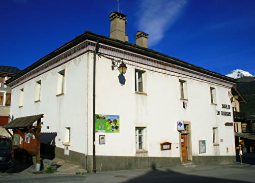
The start of the route is at the Bramans Tourist Office.
It can be reached by estibus (shuttle bus equipped with a bike rack during the summer season) from Bonneval sur Arc, Bessans, Lanslevillard, Lanslebourg, Termignon, Sollières - Sardières.
Or with the TransSavoie shuttles departing from Modane station (not equipped with a bike rack)