- Sport
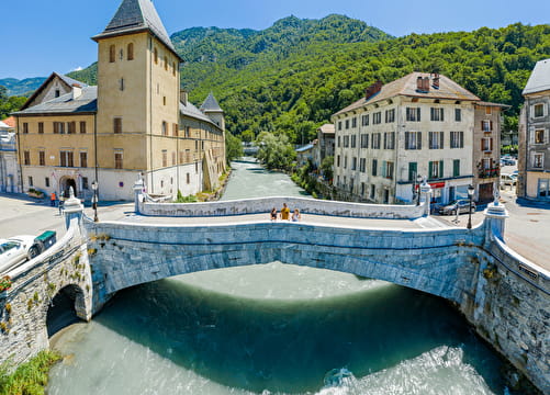
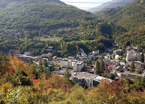
Val Thorens via la Côte-Derrière
1354 Points - This second variant on the climb to Val Thorens is just as long and difficult as the first but has the advantage of being quieter.
Sport Val Thorens via la Côte-Derrière Moûtiers
About

Prices
Free access.
Reception
Period of practice
From 01/05 to 30/10.