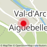
The route goes through the villages of Randens, Bonvillaret, Bonvillard, Le Villaret and Aiton.
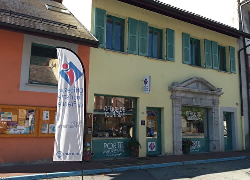
You will find fountains in the villages crossed and several restaurants in Aiguebelle and Fort of Aiton. The nearest bike repair shop is located in Albertville.
You will have the opportunity to admire the point of view of the entrance of the valley, at the Fort of Aiton.
- Sport
Tour of Bonvillaret from Aiguebelle
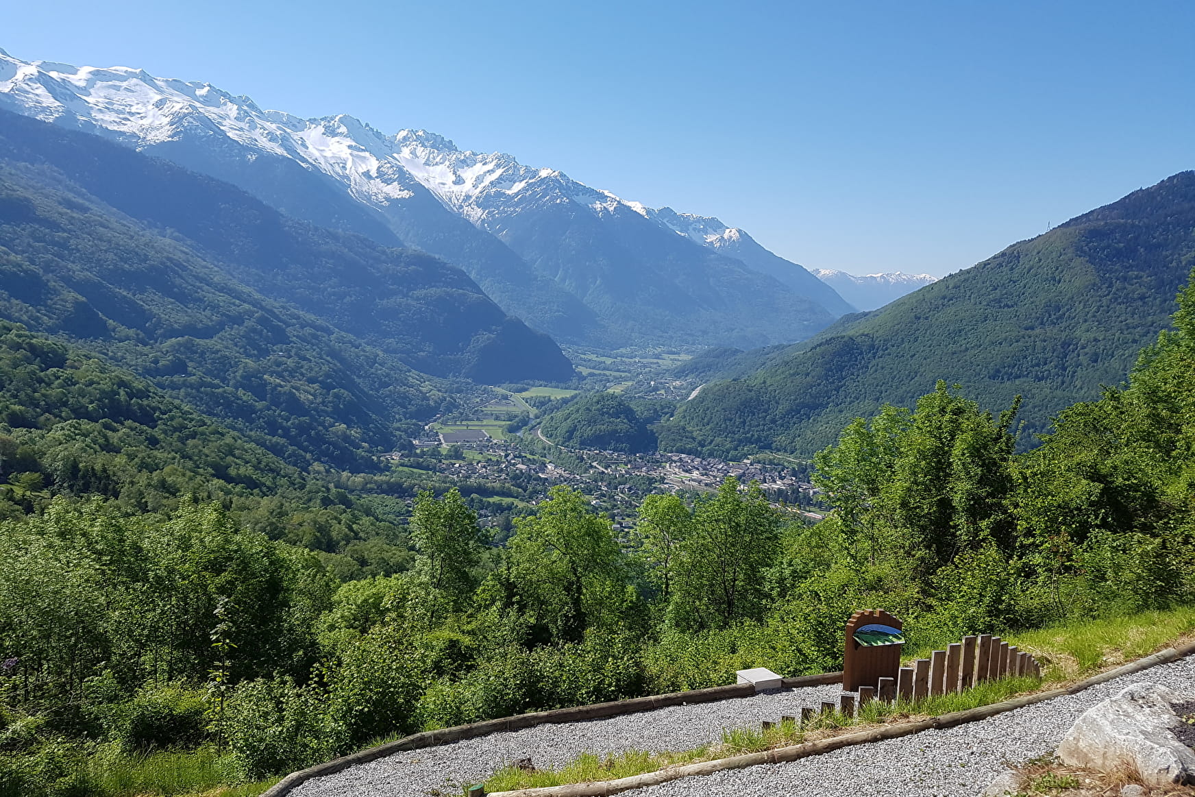
A rarely cycled route through the Lower Maurienne and the Combe de Savoie.
Sport Tour of Bonvillaret from Aiguebelle Val-d'Arc
About

1 4


Prices
Free access.
Reception
Period of practice
All year round.
Subject to snow conditions.
Services
- Motorhomes allowed
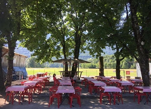
- Picnic area
- Bar
- Public WC
- Parking