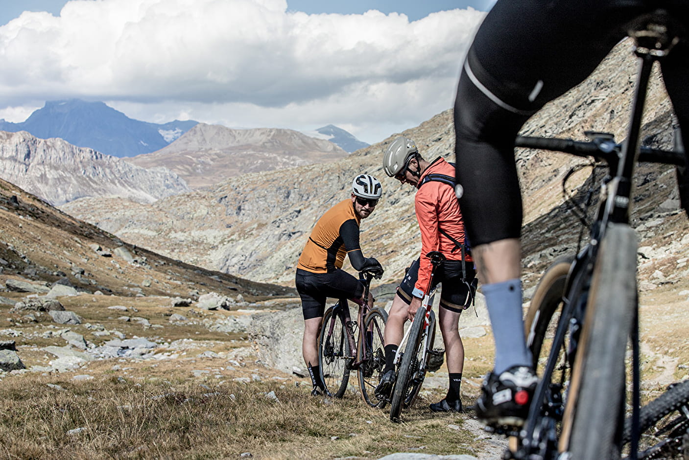
The ultra gravel tour of the Alps
between Maurienne, Tarentaise, Italy and Hautes-Alpes
>> Good adresses, to see, to do : download our free roadbook on our website : https://www.cycling-french-alps.com/bike-routes/gravel-routes/
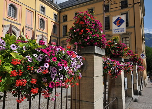
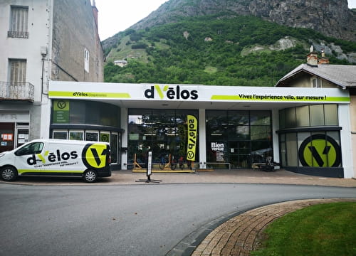
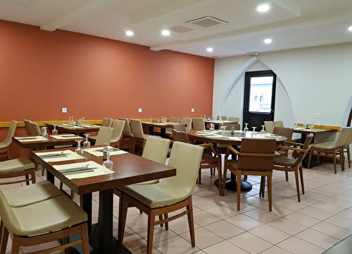
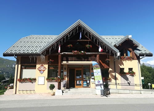
Repair shop, Accomodation with cycling certification, Information points, Restaurants, Free-access charging points labeled bicycles, Labeled repair shop
Welcome to Maurienne, a cycling destination that will enchant you!
The Maurienne valley is at the heart of the Northern Alps (via the Iseran and Madeleine passes) and the Southern Alps (via the Télégraphe/Galibier, Croix de Fer and du Glandon), France (via the Grand Cucheron or La Mauriennaise) and Italy (via the Mont Cenis pass).
The Maurienne is also one of the longest valleys in the Alpine arc and, with its
diversity of landscapes and its rich heritage, it offers you a specific journey when
you cross it!
MAURIENNE, SAVOY, ALPS
The Maurienne valley is at the heart of the Northern Alps (via the Iseran and
Madeleine passes) and the Southern Alps (via the Télégraphe/Galibier, Croix de Fer and du Glandon), France (via the Grand Cucheron or La Mauriennaise) and Italy (via the Mont Cenis pass).
The Maurienne is also one of the longest valleys in the Alpine arc and, with its
diversity of landscapes and its rich heritage, it offers you a specific journey when
you cross it!
THE OVERALL ROUTE
Level: difficult
Départure : Val d’Arc Aiguebelle. Arrival St Jean de Maurienne.
8 days / 7 nights,
463 km distance
14 680 m Elevation gain +
320 m : Minimum altitude
2642 m : Maximum altitude
No specific markings
STAGES
Jour 1 - 72 km
Val d’Arc Aiguebelle > Saint-Etienne-de-Cuines
A varied itinerary with a departure from the flat lands through the wild massif of Hurtières. A good introduction to gravel with two climbs mainly on tracks. A sense of quiet and discovery will accompany you throughout the day.
Jour 2 - 57 km
Saint-Etienne-de-Cuines > Valmorel
Straddling Maurienne and Tarentaise, this stage will allow you to discover the Col de la Madeleine in an original way. By a succession of tracks and small roads you will arrive at the resort of Valmorel at 1330 meters above sea level.
Jour 3 - 67 km
Valmorel > Saint-Michel de Maurienne
A route offering almost 100% gravel climbs as close as possible to the mountains. A variety of landscapes throughout the day punctuated by heritage discoveries while evolving in three different valleys including the very beautiful and wild valley of Encombres.
Jour 4 - 27 km
Modane > Val Cenis Termignon
A short but very rich stage in terms of the landscapes encountered and the sites to be discovered. A fairly noticeable change in terms of climate with drier vegetation compared to the start of the crossing.
Jour 5 - 48 km
Val Cenis Termignon > Suse
Straddling France and Italy, this day will transport you to a mountain environment with a wonderful discovery of the Lac du Mont Cenis. A day full of history through the places borrowed.
Jour 6 - 57 km
Suse > Sestrières
A purely Italian stage and not the least, with 8 passes to cross at an altitude of more than 2000 meters in a wild atmosphere all along the route. An immersion as close as possible to the mountains awaits you where the gravel is at its peak.
Jour 7 - 65 km
Sestrières > Chantemerle
A cross-border day with two accents on the program off the beaten track. An immersion in the heart of the Clarée valley as close as possible to nature and the mountains; all in a typical southern atmosphere with its pines and larches.
Jour 8 - 75 km
Chantemerle > Saint-Jean de Maurienne
Day of contrast for this last stage between the plains and the high mountains, a contrast of landscapes between the southern and northern Alps. A passage on the roof of this crossing at the Col du Galibier at 2642 meters climbs in an atypical way and far from the beaten track. Undoubtedly the final highlight of this journey which will bring you closer to the peaks.
Download the GPX files
- Sport
Gravel Trail : Ultra Gravel Tour des Alpes
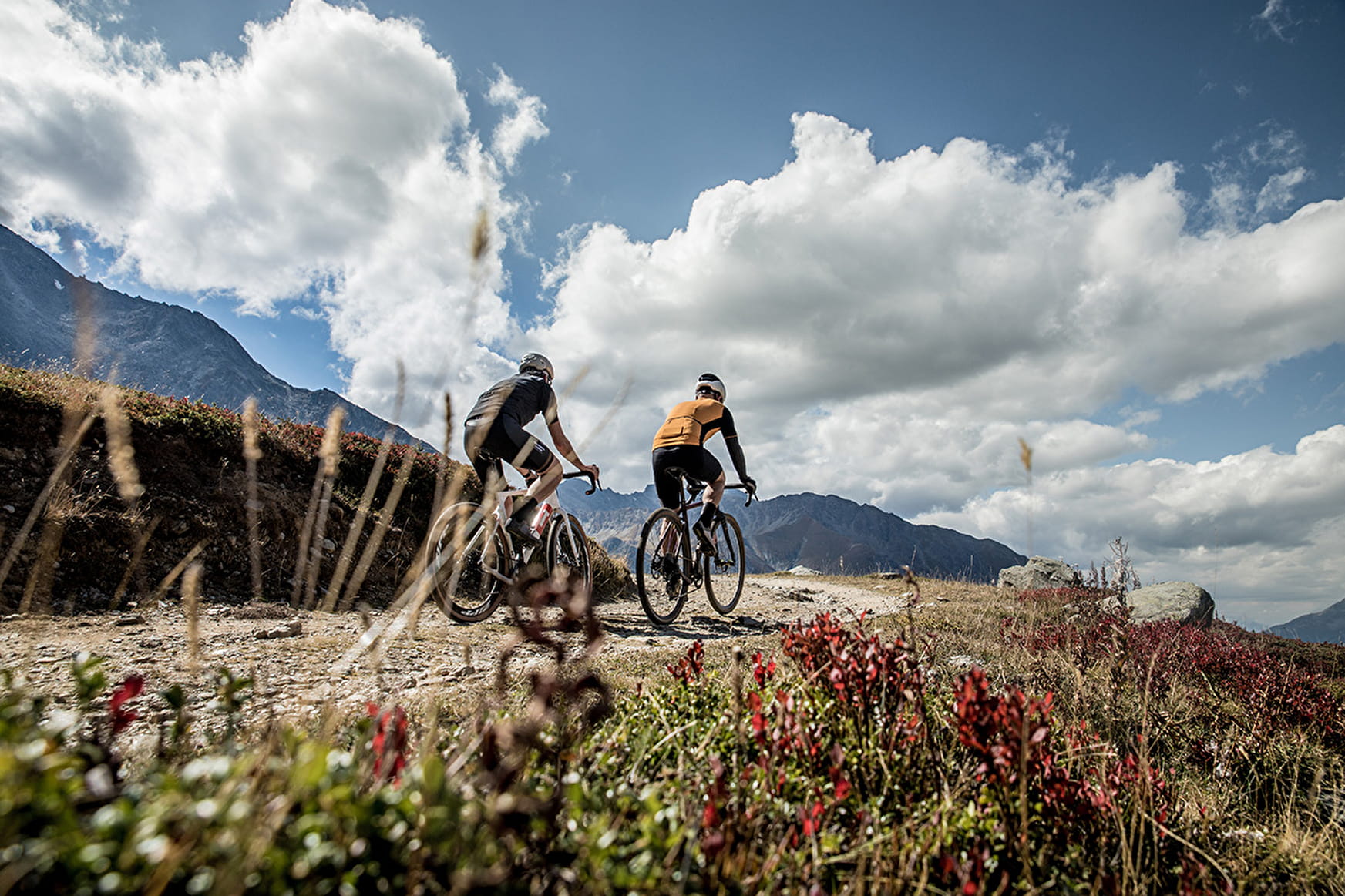
Gravel and adventure lovers, here is a 100% mountain itinerary where you will conquer some of the most beautiful alpine passes by roads and gravel trails. Over 460 kms, you will climb nearly 14,700m of elevation gain and no less than 15 passes, including 11 at over 2,000 meters in altitude.
Sport Gravel Trail : Ultra Gravel Tour des Alpes Saint-Jean-de-Maurienne
About
Topoguides references
Free roadbook by Maurienne Tourisme : https://www.cycling-french-alps.com/bike-routes/gravel-routes/
Further informations
Ground, Hard coating (tar, cement, flooring), Grit
1 3


Prices
Free access.
Reception
Period of practice
From 15/05 to 15/10.
Services
- Tourist brochures