The hike around the Pointe d'Ardens by its lakes will allow you to discover all the beauty of the Haute-Savoie landscape.
Starting from the Plagnes lake, you will first go through the Ardens chalet located south of the summit of the same name: La Pointe d'Ardens, which culminates at 1959 m in altitude.
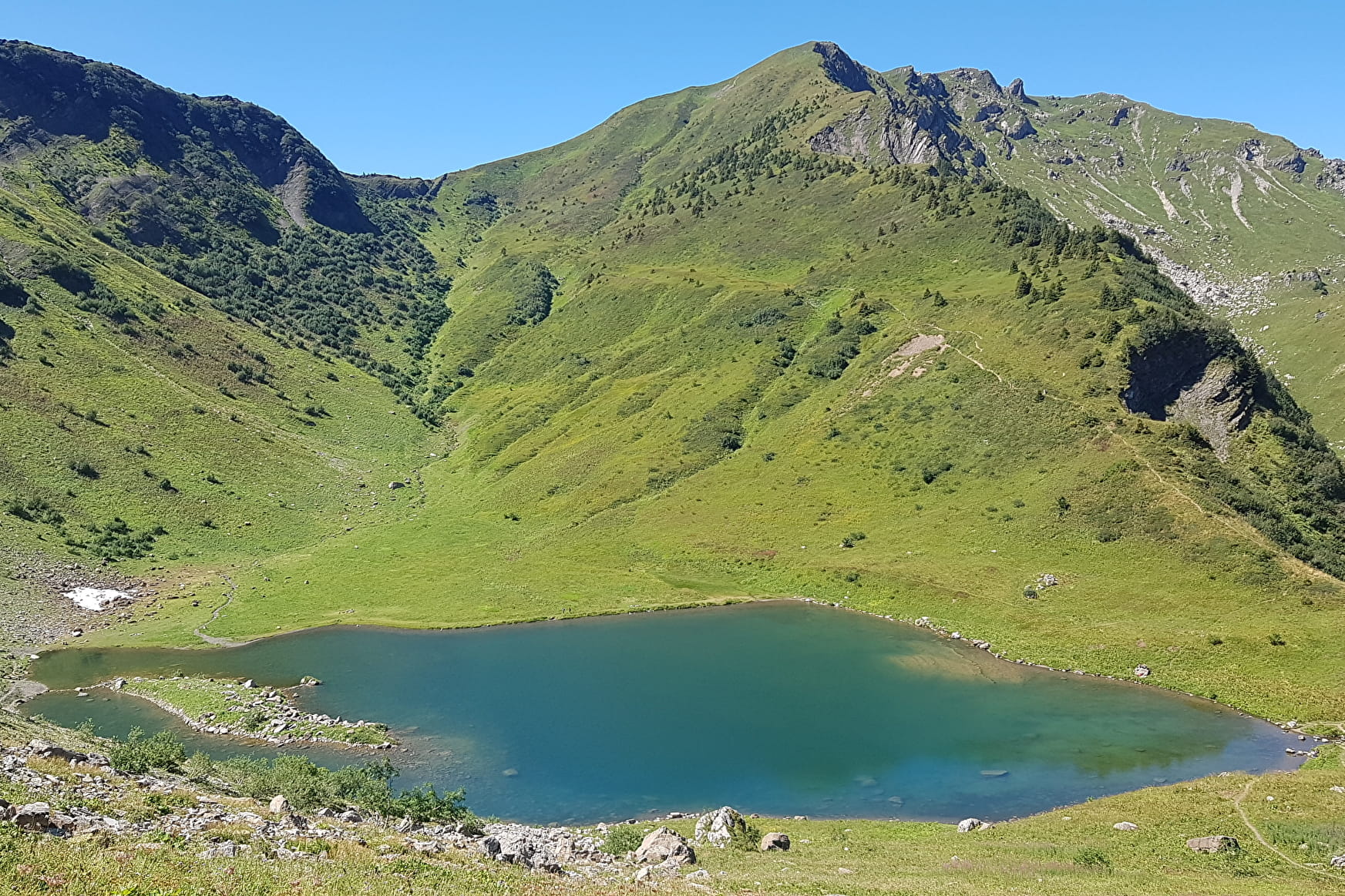
You will then reach the Tavaneuse lake located at the foot of the cliffs of the small Pointe du Piron, between scree and alpine meadows, one of the most beautiful lakes in the Chablais.
You will then go back down by the north of the Pointe d'Ardens to reach the Lac des Plagnes. Take advantage of the restaurants and picnic tables near the lake to recover from your hike and enjoy this must see geosite of the UNESCO Chablais World Geopark.
- Sport
Tour of the Pointe d'Ardens from Lac des Plagnes
A sporty hike that will take you to discover the Plagnes lake and the Tavaneuse lake, on the foothills of one of the many peaks of the Chablais massif: La Pointe d'Ardens.
About

Signs
Departmental markings called P.D.I.P.R. on beige metal panel and green writing.
Map references
Map of the Portes du Soleil hiking trails in France TOP 25 IGN N°3528 ET - MORZINE
Topoguides references
On sale in the tourist offices of the Abondance valley.
Further informations
Rock, Stone, Ground


1/ From the "Les Plagnes (Parking) " always follow the direction "Chalets d'Ardens". You will pass the following directional posts "Lac des Plagnes (Nord)", "Lac des Plagnes", "Lac des Plagnes (Sud)", "Cubourré (Bas)", "Cubourré (Haut)" and "Sous Pointe de Chavache".
2/ When you arrive at "Chalet d'Ardens" follow the direction "Chalet d’Entre Deux Perthuis", you will pass by « Les Pirons d’Ardens » before you reach "Sous Col d’Entre Deux Perthuis".
3/ From "Sous Col d’Entre Deux Perthuis", follow the direction "Lac de Tavaneuse", you will pass by "Col d’Entre Deux Perthuis". When you arrive at Lac de Tavaneuse, retrace your steps to reach "Sous Col d’Entre Deux Perthuis".
4/ From "Sous Col d’Entre Deux Perthuis", follow the direction " Lac des Plagnes (parking) par Chalets d’Entre Deux Perthuis " before you arrive at "Chalet d’Entre Deux Perthuis".
5/ From "Chalet d’Entre Deux Perthuis" follow the direction " Lac des Plagnes (parking) par La Guorfère". From "La Guorfère", always follow the direction "Lac des Plagnes (Parking)". You will pass the following directional posts : "La Séchère ", "Le Cazot ", "Sous le Lac des Plagnes" et "Lac des Plagnes (Sud) ". From here, return to "Les Plagnes (Parking)" by the same path.
Prices
Free access.
Reception
Dogs must be kept on a leash because of the presence of herds.
Period of practice
From 01/06 to 01/11.
Accessible except during snow and depending on weather conditions.
Please check with the Tourist Office for the latest information on access conditions. This route is usually suitable for strong walkers during summer and autumn, except in adverse weather.
- Pets welcome
- Picnic area
- Car park
- Parking
- Free car park
Contacts
Access
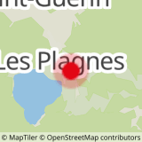
Le parking du lac des Plagnes se situe à moins de 10 minutes en voiture du centre du village d'Abondance. Prendre direction "Lac des Plagnes".

