- Sport
Giffre Valley loop on horse-back
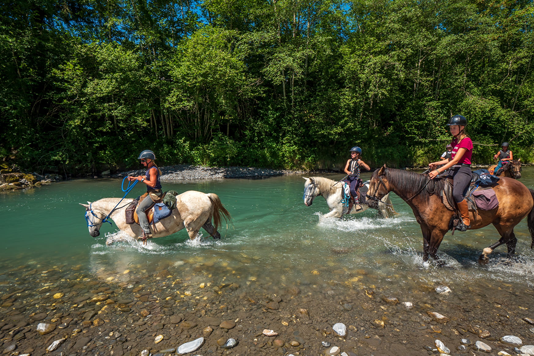
A circular trail between the villages of Taninges and Mieussy, along both banks of the Giffre. A long and varied route, through forests, villages and rivers!
Sport Giffre Valley loop on horse-back Mieussy
About
1 4


Prices
Free access.
Reception
Period of practice
All year round.
Subject to favorable snow and weather conditions.
Services
- Pets welcome
- Picnic area
- Public WC
- Car park
Contacts
Access


