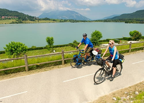
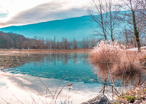
• Sport

Via Rhôna

This cycle route from Lake Geneva to the Mediterranean crosses our region from Fort l'Ecluse to Pont du Fier. Geo-guided local loops allow you to leave the main route and explore our region.

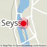
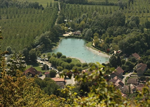
Sport Via Rhôna Seyssel
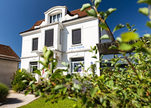
About

Departing from Seyssel (74910)
Average length : 07h00
Duration of the itinerary : 10 Days
Total elevation gain : 2915m
Vertical drop : 3310m
Distance : 815km
Signed walking trail

Itinerary
Total elevation gain : 2915m
Altitude max : 545m
Vertical drop : 3310m

Further informations

Ground, Hard coating (tar, cement, flooring), Grit

Prices

Free of charge.

Reception

Animals not allowed
Languages of documentation : German, English, French

Period of practice

From 01/01 to 31/12.

Services
  • Motorhomes allowed
  • Accommodation
  • Restaurant
  • Takeaway/cooked dishes
  • Repair kit
  • Bike repair
Equipments
  • Picnic area
  • Bar
  • Public WC
  • Charging station for 2 electric wheels

Access

10 route d'Aix les Bains 74910 Seyssel
Departing from : Seyssel (74910)
Latitude : 45.956531 - Longitude : 5.834092
On : Chêne-en-Semine (74270), Challonges (74910), Clarafond (74270), Usinens (74910), Bassy (74910), Seyssel (74910)
Information update on 15/03/2024 by Haut-Rhône Tourisme