It was ridden 20 times by the cyclists of Le Tour de France.
- Sport
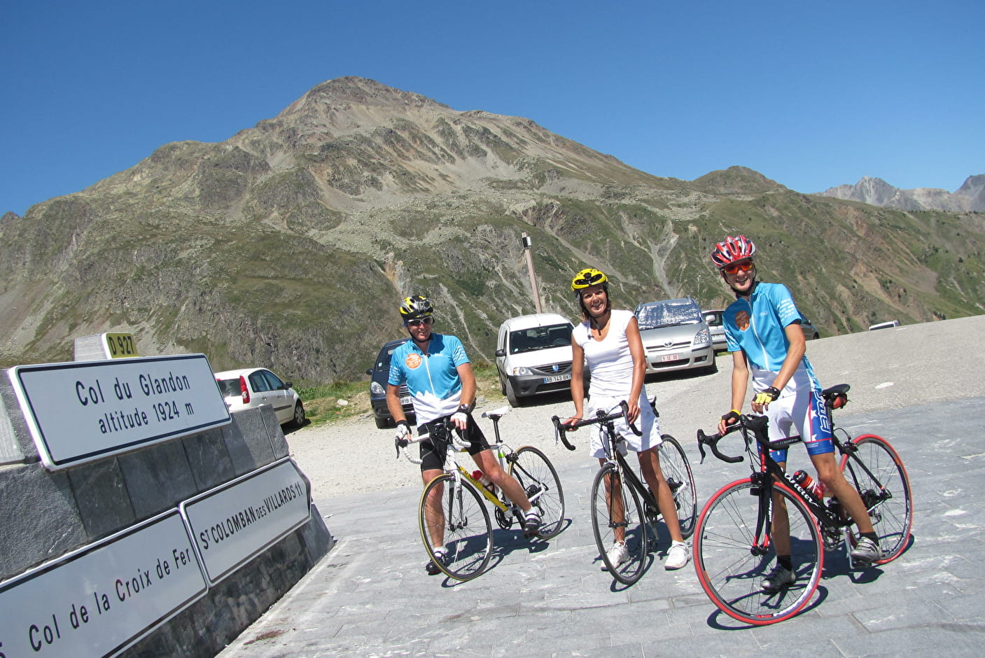
Col du Glandon (East Side)
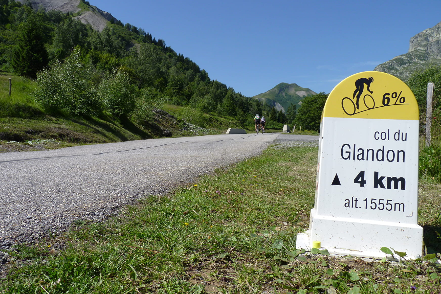
The Col du Glandon is undoubtedly one of the hardest passes in Maurienne valley. Do not rely on its average 7.2% elevation gain, which hides 3 km of flat in Saint-Colomban-des-Villards and 3 km more than 10% on the last ramps of the col.
Sport Col du Glandon (East Side) Saint-Etienne-de-Cuines
About

1 4


Prices
Free access.
Reception
Period of practice
From 15/05 to 31/10.
Depending on the weather.
Equipments
- Parking
- Bar
- Picnic area
- Orientation board