From the Combe des Moulins to "Le Plan des Rois", join the Col de la Croix-de-fer road and fork off towards "Charvin" on a wild, rolling trail. A short detour to Le Corbier, then a playful and panoramic passage before reaching the resort of La Toussuire.
- Sport
Ascent of La Toussuire and Le Corbier
This beautiful ascent for cyclists and Gravel cyclists will take you from Saint-Jean-de-Maurienne to La Toussuire via Le Corbier on a rolling, wild, interlaced and panoramic trail!
Sport Ascent of La Toussuire and Le Corbier Saint-Jean-de-Maurienne
About

Further informations
Ground, Hard coating (tar, cement, flooring), Grit
1 4


Departure: Saint-Jean-de-Maurienne free parking "Place du Champ de Foire". From the parking lot, follow signs for "Vallée de l'Arvan". At the Opinel traffic circle, follow signs for "Col du Mollard".
The kilometers go by easily, and you soon arrive at "Le Plan des Rois". Turn right onto the Chemin du Merderel, which leads to the D926. Turn left towards Col de la Croix de Fer.
Turn right off this road towards the hamlet of Charvin. A short descent follows. At a fork in the road, continue left (do not go to the hamlet center); the gravel section starts after 200m.
The trail is smooth and easy, with a gentle slope to a comfortable area with tables and benches: the Crêt de la Servitude. There's even a small fountain and shady areas for resting.
Continue along this shady section over rolling terrain alternating between small bumps and short descents. Follow the signs for "Villarembert" at the junctions. At the end, there's a steady, technical section for 100 meters, then the gradient eases.
The path becomes more rolling. You arrive at the water treatment plant, where you rejoin the asphalt section a few metres further up. Before entering the village of Villarembert, take the road on your left to reach the Corbier station.
Before the Total petrol station, turn right at the large parking lot and continue along this road (towards the technical services department), passing a riding school. At the next intersection, follow "Plan Chaud - La Toussuire".
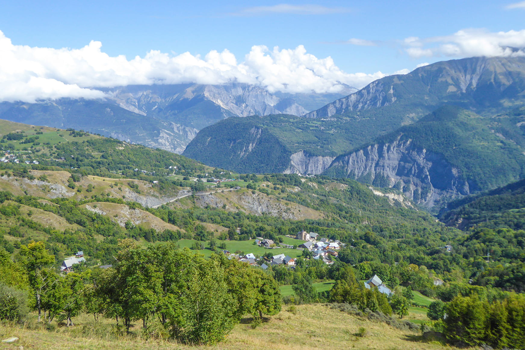
The second short gravel section, very rolling, begins with a steady gradient. It brings you to a very pretty viewpoint, with a picnic area.
You can admire the Cime des Torches, Mont Charvin, the Grand Truc, the Meije... On the other side you'll discover the Croix des Têtes with its characteristic limestone pillar, the Grand Perron des Encombres or Mont Brequin.
This is followed by a rolling section on grass to reach the road: turn right to reach the resort of La Toussuire without difficulty. You arrive at the "Kilomètre O" sign, the end of the climb. 10 metres ahead is a chapel on your left.
From the "Kilomètre O" sign, retrace your steps to the fork in the road, then turn left in the direction of "Saint-Jean-de-Maurienne" and follow the road down to the starting point.
Prices
Free access.
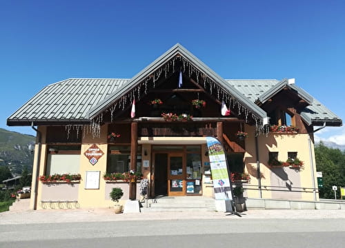
Reception
Period of practice
From 01/05 to 31/10.
Services
- Restaurant
- Takeaway/cooked dishes
- Mountainbike hire
- Picnic area
- Public WC
- Orientation board
- Parking
- Charging stations for electric vehicles
- Charging station for 2 electric wheels